What is recorded here
Attyflin, County Limerick: a 32m earthen ring with a shallow outer ditch, standing 50m from Attyflin Park House in open pasture. It may have begun as a human fortress, then become a tree-ring in the estate landscape, which is why it still looks like a fort only when the leaves are thin. The earth remembers both uses at once.
In gently undulating pasture, good views in all directions, on the demesne lands of Attyflin Park House located 50m to NNE. Present remains consist of a slightly raised sub-circular shaped area (dims. 32m N-S; 28m E-W) defined by an earth and stone bank (Wth 4.6m; H int. 0.4m; ext. 0.7m) reduced to a scarp in places with external fosse (Wth 4.6m; D 0.3m). Interior is gently undulating. Outline of tree covered monument visible on Google Earth orthoimage taken 2020. Close proximity to Elm Park House suggests that this earthwork may be a ringfort reused as a tree-ring on the designed landscape of the demesne.
See attached Google Earth orthoimages
Compiled by: Fiona Rooney
Date of upload: 9 July 20202
The monument record does not grant public access. Check the route and ask the landowner before entering private land.
- What survives
- Recorded monument
Places near here
 Attyflin Housecountry house · 261 yd
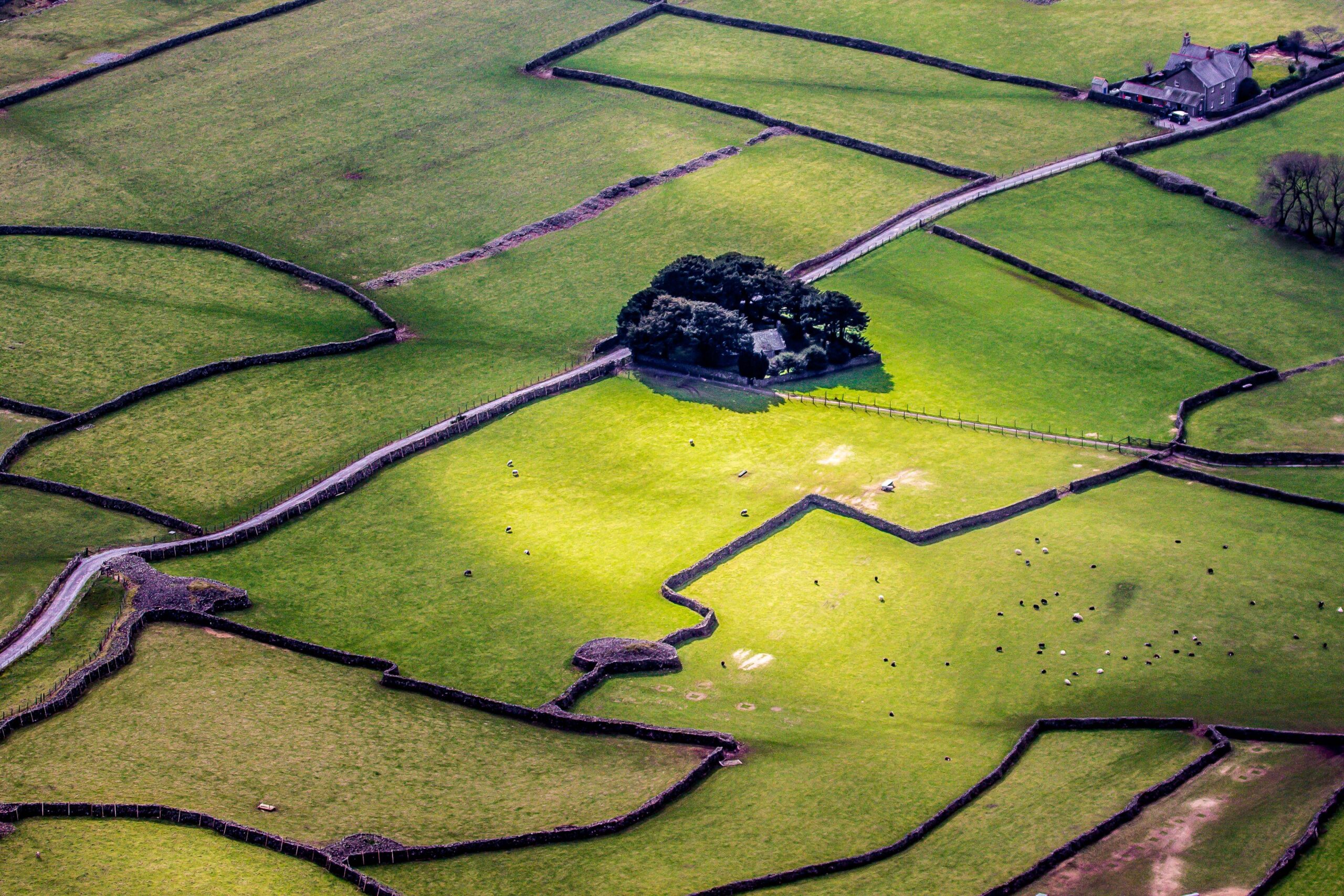 Designed landscape feature in AttyflinDesigned landscape feature · 771 yd
 Megalithic structure in AttyflinMegalithic structure · 913 yd
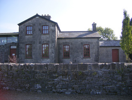 Patrickswell Railway Stationrailway station, signal box · 967 yd
 Ballinveala Castle (in ruins)Castle, tower house · 1.6 mi
 Castle FieldCastle, unclassified · 2.0 mi
 Biodiversity in the Maigue CatchmentVisitor information · 4.4 mi
 Dysert AenghusaHeritage attraction · 4.6 mi
 European ashEuropean ash · 5.0 mi
 Monasteranenagh AbbeyHeritage attraction · 5.1 mi
 Kinnoor WellSpring · 6.0 mi
 Flat cemetery in Kiltenan SouthFlat cemetery · 6.6 mi