What is recorded here
Morgan's fort vanished beneath the soil of Ardywanig, leaving behind only a smooth pasture slope facing the Slieve Mish Mountains. It may have hidden a great underground passage within its rings, but the earth has swallowed even that memory. What remains is a ghost of a circle, visible only in old maps and the stubborn certainty of local stories.
In pasture, on a N-facing slope with views to the Slieve Mish Mountains. This rath is not visible at ground level. According to local information, it was levelled many years ago. It is indicated as a bivallate circular enclosure (diam. c. 40m) on the 1894 OS 6-inch map. This is probably the rath known as 'Horgan's fort' which was inspected in the 1940s and which had a 'great Man-made underground passage [KE047-067001-] in the enclosing rings' (Minutes of the Co. Kerry Field Club 1948, vol. 2, 797).
Compiled by: Elizabeth Byrne, Ursula Egan and Sheila Ronan, Archaeological Survey Unit, University College, Cork.
Date of upload: 31 January 2011
The monument record does not grant public access. Check the route and ask the landowner before entering private land.
- What survives
- Recorded monument
Places near here
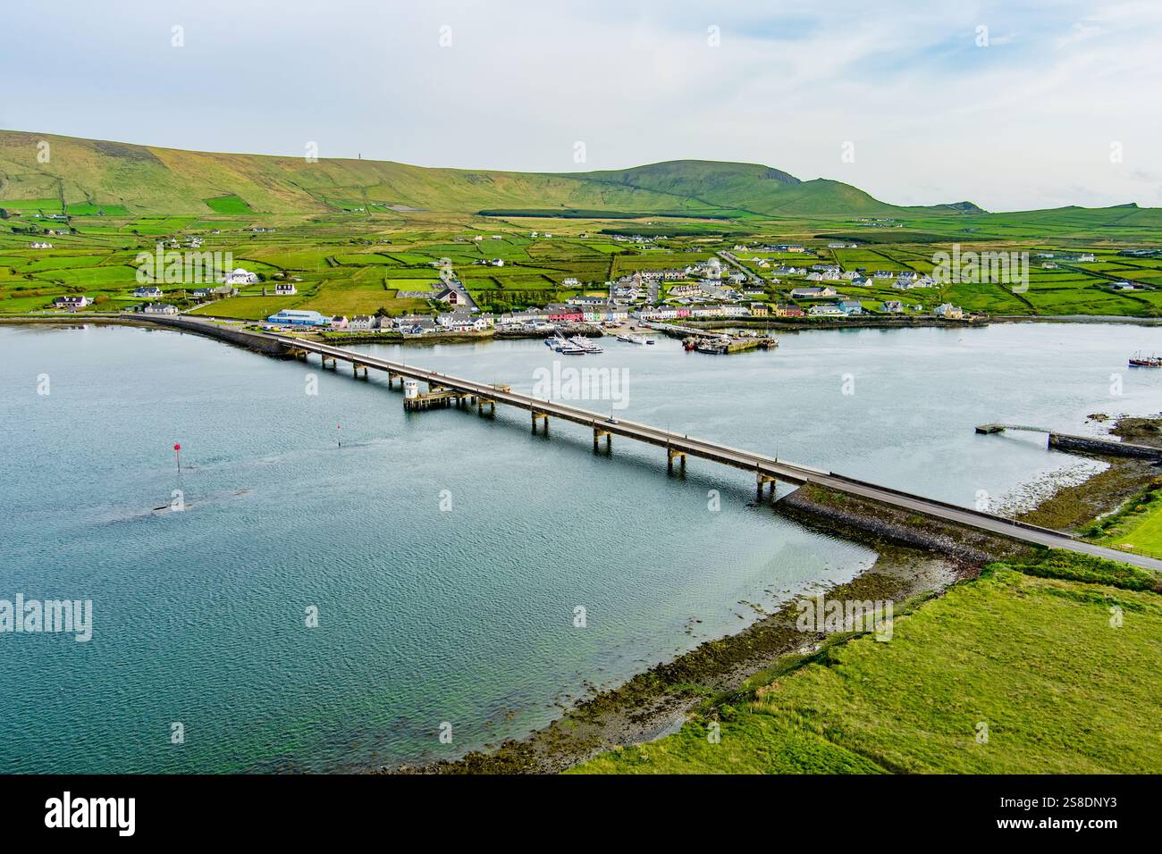 Man-made underground passage in ArdywanigMan-made underground passage · 2 yd
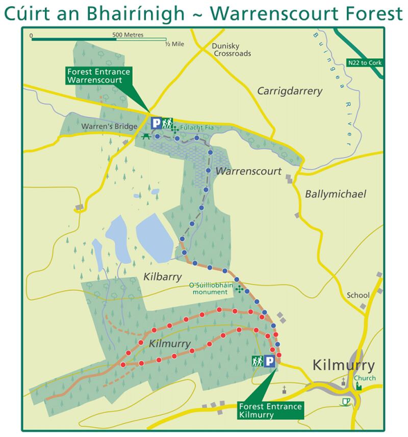 Fulacht fia in KillaclohaneFulacht fia · 1327 yd
 Knocknamucklagh Ho.Country house · 2.0 mi
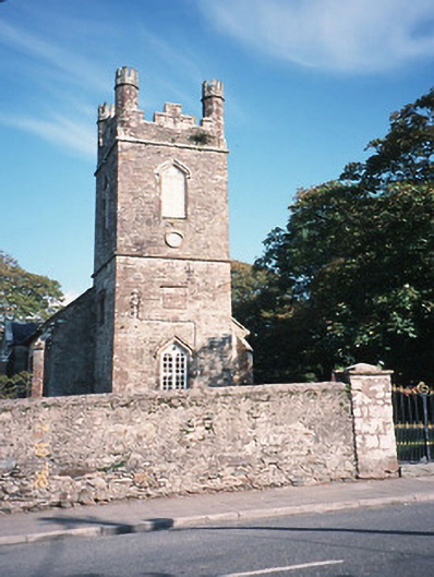 Milltown Church (Kilcolman)church/chapel · 2.1 mi
 The Kerry Creamery ExperienceHeritage attraction · 2.2 mi
 Site of Castle MaineCastle, Anglo-Norman masonry castle · 2.2 mi
 CastleCastle, tower house · 2.3 mi
 Ballygamboon Forest Recreation AreaWood · 4.1 mi
 Clash IslandIslet · 4.6 mi
 Cloon IslandIsland · 5.0 mi
 KnockmoyleMountain / peak · 5.1 mi
 King Puck statueMemorial · 5.7 mi