What is recorded here
Fairy fort in Ardnagall, County Galway: a worn earthen ring on a grass hillock, its ditch and outer bank broken by later field lines and quarrying. It may have been a home, a boundary marker, or a place people avoided because it belonged to someone else. The fairies keep what the land stopped giving back.
On a hillock in undulating grassland overlooking poorly drained terrain to NE. Poorly preserved subcircular rath (NE-SW 50m, NW-SE 40m) defined by a scarp, intervening fosse and outer bank. The fosse and outer bank survive at SE and from SSW to NW; they have been quarried out at S. Possible entrance at W. A field boundary cuts the monument at NW and SE. A ringfort (GA016-002----) lies c. 150m to SW.
The above description is derived from the published 'Archaeological Inventory of County Galway Vol. II - North Galway'. Compiled by Olive Alcock, Kathy de hÓra and Paul Gosling (Dublin: Stationery Office, 1999).
Date of upload: 05 August 2010
The monument record does not grant public access. Check the route and ask the landowner before entering private land.
- What survives
- Recorded monument
Places near here
 Enclosure in Grange (doonbally Ed)Enclosure · 375 yd
 Cross in Lenamore (dunmore By.)Cross · 1037 yd
 Site of Doonbally CastleCastle, unclassified · 1170 yd
 Bawn in Kilcloony (dunmore By.)Bawn · 1.5 mi
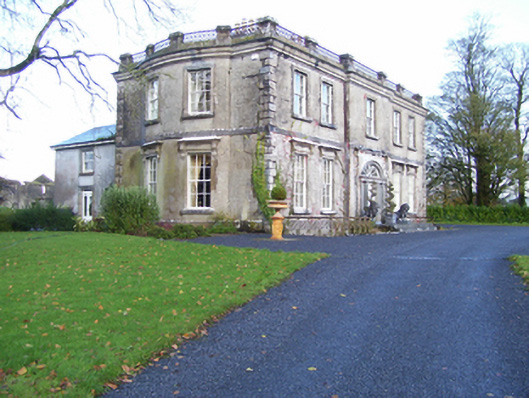 Quarrymount Househouse · 1.6 mi
 Massmore Househouse · 1.7 mi
 European ashEuropean ash · 3.9 mi
 Mass RockNamed rock · 5.7 mi
 KnockmaaWood · 8.9 mi
 Knockmoy AbbeyHeritage attraction · 11 mi
 Kilcoona Round TowerHeritage attraction · 13 mi
 Settlement desertedSettlement deserted, medieval · 1.0 mi