What is recorded here
Ardmeelode holds a double-ringed earthen fort where cattle still break through the NE gap. The inner bank stands 2.55m high on its outer face, while conifers push through the intervening fosse and a hidden passage lies beneath the northern interior. People may have built this defensible home, tended its pasture and used its causeway entrance for generations before forgetting the names of its makers.
In pasture, on an E-facing slope with views N to the Slieve Mish Mountains. A circular area (36m E-W; 34m N-S) defined by two earthen banks with an intervening fosse and an outer fosse. The inner earthen bank (Wth 6.4m; int. H 1.15m; ext. H 2.55m), the intervening fosse (Wth 4.1m) and the outer bank (Wth 4.5m; int. H 1.7m; ext. H 1.2m) are evident all round. The outer fosse (Wth 2.4m; D 0.4m) is evident SSE-W. A field boundary truncates the outer fosse and incorporates the outer bank W-NW. There is a causeway entrance (Wth 3.2m) at SSE, a cattle break at NE and a break in the outer bank at E. The interior slopes down to the SE. Coniferous trees grow on the banks and in the intervening fosse. There is a Man-made underground passage (KE047-063001-) in the N half of the interior.
Compiled by: Elizabeth Byrne, Ursula Egan and Sheila Ronan, Archaeological Survey Unit, University College, Cork.
Date of upload: 31 January 2011
The monument record does not grant public access. Check the route and ask the landowner before entering private land.
- What survives
- Recorded monument
Places near here
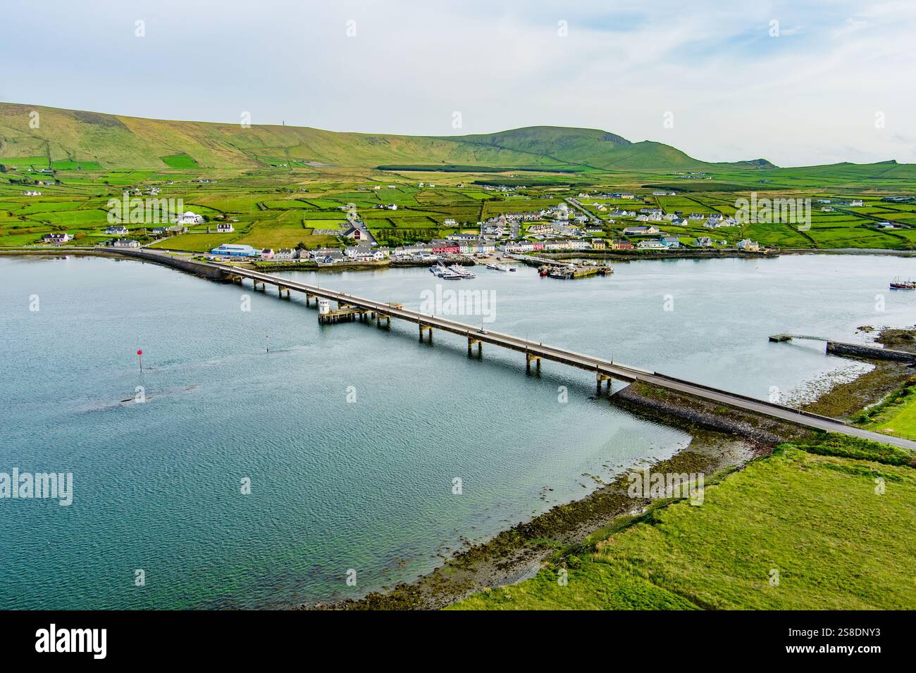 Man-made underground passage in ArdywanigMan-made underground passage · 761 yd
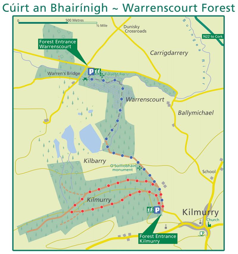 Fulacht fia in KillaclohaneFulacht fia · 800 yd
 Site of Castle MaineCastle, Anglo-Norman masonry castle · 1.8 mi
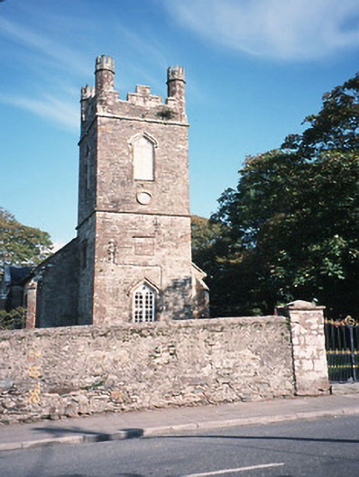 Milltown Church (Kilcolman)church/chapel · 1.8 mi
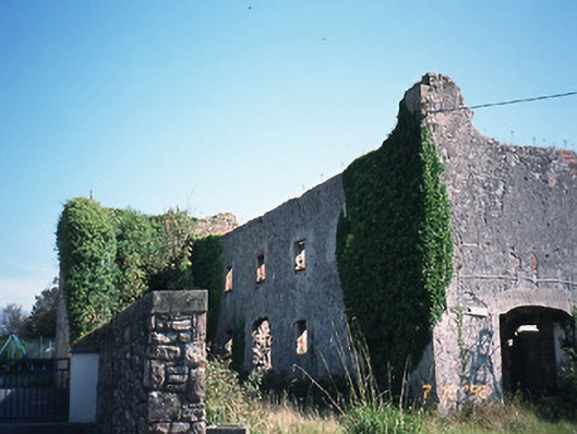 store/warehousestore/warehouse · 1.8 mi
 CastleCastle, tower house · 2.0 mi
 The Kerry Creamery ExperienceHeritage attraction · 2.4 mi
 Ballygamboon Forest Recreation AreaWood · 3.9 mi
 Clash IslandIslet · 4.4 mi
 KnockmoyleMountain / peak · 4.8 mi
 Cloon IslandIsland · 4.8 mi
 LisnagraveArchaeological place · 5.1 mi