What is recorded here
Ardcahan held a thirty-metre earthen ring on a west-facing slope, watching the Shehy Mountains before pasture and time erased its shape. The 1842 survey still draws its circular platform, though boots no longer press its buried bank. It may have been a home, a boundary marker, or a place where people watched storms arrive from the sea. The land keeps the shape longer than memory does.
In pasture, on W-facing slope, looking W to Shehy Mountains. Hachured on OS 6-inch map (1842) as circular platform (diam. c. 30m). No visible surface trace.
The above description is derived from the published 'Archaeological Inventory of County Cork. Volume 1: West Cork' (Dublin: Stationery Office, 1992). In certain instances the entries have been revised and updated in the light of recent research.
Date of upload/revision: 14 January 2009
The monument record does not grant public access. Check the route and ask the landowner before entering private land.
- What survives
- Recorded monument
Places near here
 IndicatedEcclesiastical enclosure · 540 yd
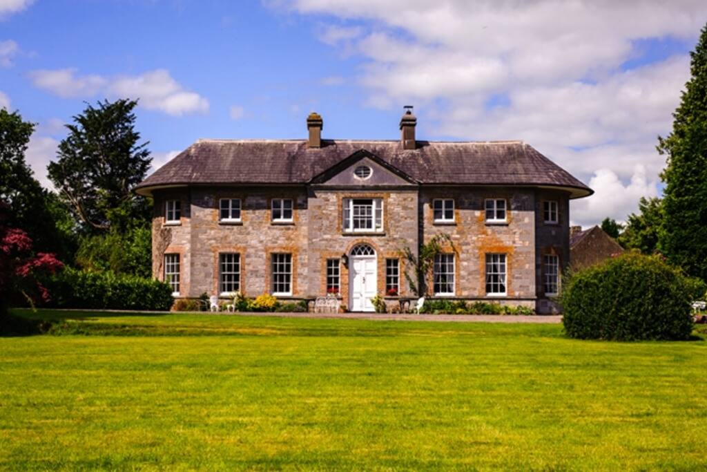 Country house in ArdcahanCountry house · 645 yd
 Ogham StoneOgham stone · 1326 yd
 Caha BrBridge · 1.3 mi
 OCrowleys Castle (in Ruins)Castle, tower house · 1.3 mi
 Funmanway Adventure LandHeritage attraction · 2.1 mi
 Mount GunneryMountain / peak · 2.3 mi
 Graveyard in Dunmanway NorthGraveyard · 2.9 mi
 Dunmanway Heritage CentreVisitor information · 3.4 mi
 Kilmichael Ambushambush · 3.4 mi
 Kilmichael Ambush SiteMonument · 3.4 mi
 Castle RockNamed rock · 3.5 mi