What is recorded here
Situated on a prominent hillock in gently undulating grass-land with excellent views from NW-N-E-SSE. Archerstown church (WM008-045----) and graveyard (WM008-045001-) located 390m to N. A sub-circular shaped area (approx. diam. 41m N-S; 34.5m E-W) enclosed by a poorly preserved earthen bank and slight external fosse. The interior of the ringfort is uneven and contains a number of depressions & low banks. There appears to be the remains of an outer bank visible on Digital Globe aerial photograph taken November 2011.
Compiled by: Frank Coyne and Caimin O'Brien
Date of upload: 20 April 2017
A fairy fort / earthen ringfort in Archerstown is a sub-circular earthen enclosure typical of early-medieval ringforts (raths), likely dating to between the 5th and 10th centuries AD. Local tradition associates such sites with fairy folk, and they were often avoided due to beliefs in their supernatural inhabitants.
The monument record does not grant public access. Check the route and ask the landowner before entering private land.
- What survives
- Recorded monument
Places near here
 Bawn in ArcherstownBawn · 350 yd
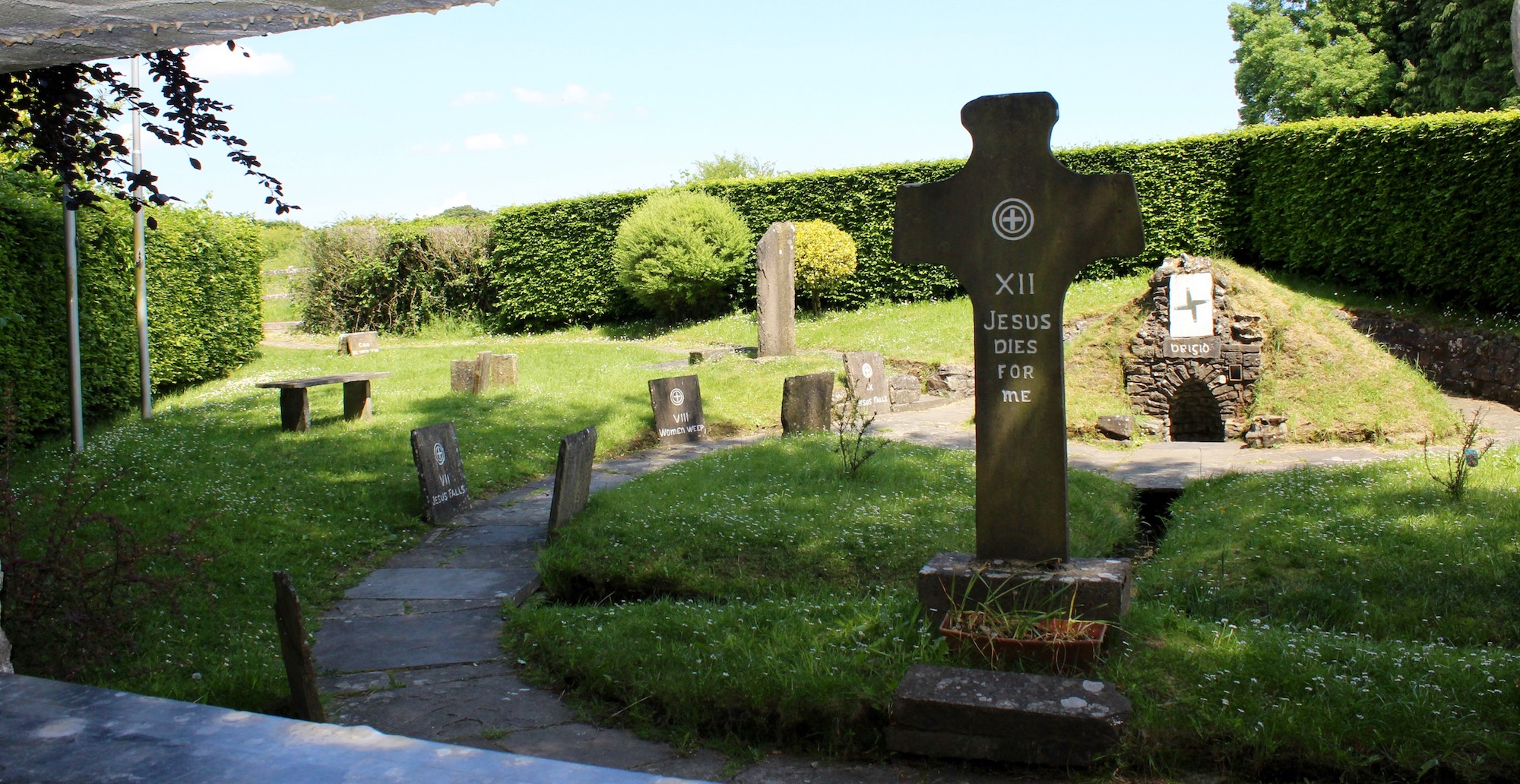 Ecclesiastical enclosure in ArcherstownEcclesiastical enclosure · 446 yd
 Archerstown Church in ruinsChapel · 458 yd
 Hut site in ArcherstownHut site · 991 yd
 Corn MillMill, unclassified · 1208 yd
 Bawn in Scurlockstown (delvin By.)Bawn · 1.5 mi
 The FurzeForest · 2.0 mi
 Bradley's WoodWood · 2.4 mi
 The Sloe HillMountain / peak · 2.4 mi
 Kells HillMountain / peak · 2.5 mi
 South East GateHeritage attraction · 5.3 mi
 Zip WireHeritage attraction · 5.8 mi