What is recorded here
A 48-metre earthen ring in Aille lost much of its boundary to ploughs and clearance, leaving only a northern and southern arc visible today. The eastern gap may be an entrance rather than a wound, inviting imagination about who walked through it and when. The land has taken back most of the shape, but the remaining curve still marks a place set apart for living, keeping or remembering.
At the base of a NE-facing slope in pastureland. Very poorly preserved circular rath (diam.
c. 48m) defined by a bank from N to E and from SE to S. Elsewhere the enclosing element has been cleared away as a result of land clearance. A gap at E may be original.
Compiled by: Galway Archaeological Survey, UCG
Date of upload: 12 October 2016
The monument record does not grant public access. Check the route and ask the landowner before entering private land.
- What survives
- Recorded monument
Places near here
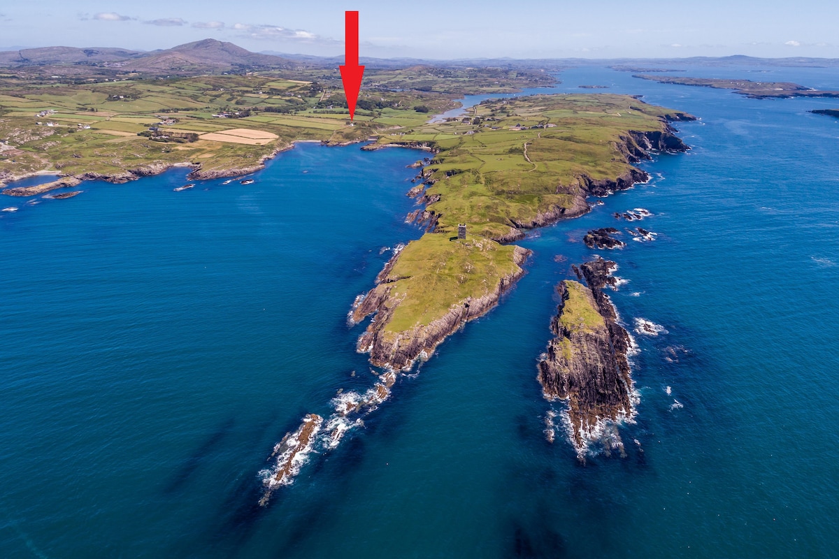 TobermacduaghHoly well · 445 yd
 R.C. Chapel and School Ho.Chapel · 801 yd
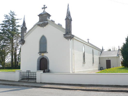 Saint Mary's Catholic Churchchurch/chapel · 801 yd
 Doon HillFairy fort / earthen ringfort · 824 yd
 Ballynamantragh CastleCastle, unclassified · 1.2 mi
 Castle (in ruins)Castle, tower house · 2.0 mi
 Stone Islands SouthIslet · 2.0 mi
 Long PointHeadland · 2.2 mi
 Island McCooIslet · 2.3 mi
 Dartfield Horse MuseumHeritage attraction · 4.2 mi
 Scalpeen RockNamed rock · 5.3 mi
 Quarryhill WoodWood · 6.5 mi