What is recorded here
Fairy fort in Agharaskilly, County Cavan: a raised circular area about 29 metres across, enclosed by an earthen bank now partly swallowed into field boundaries. The outline still shows, and an older entrance may have faced southeast. People called it a fairy fort because such rings often seem to belong less to history than to the strange life of the land.
Raised circular area (int. dims. 29.1m NNE-SSW; 26.4m WNW-ESE) enclosed by an earthen bank. From SSW-NNW bank has been modified and incorporated into the field boundary. Elsewhere it has been levelled but its outline is still identifiable. An earlier report (OPW 1969) recorded traces of an outer fosse and suggested that the original entrance may have been at SE.
The above description is derived from the published 'Archaeological Inventory of County Cavan' (Dublin: Stationery Office, 1995). In certain instances the entries have been revised and updated in the light of recent research.
Date of upload/revision: 22 December 2008
A fairy fort / earthen ringfort in Agharaskilly is a likely early-medieval circular enclosure, traditionally associated with fairy folklore and possibly used as a defensive or agricultural settlement. Its modified bank suggests later integration into field systems, while its original form reflects typical Irish ringfort characteristics.
The monument record does not grant public access. Check the route and ask the landowner before entering private land.
- What survives
- Recorded monument
Places near here
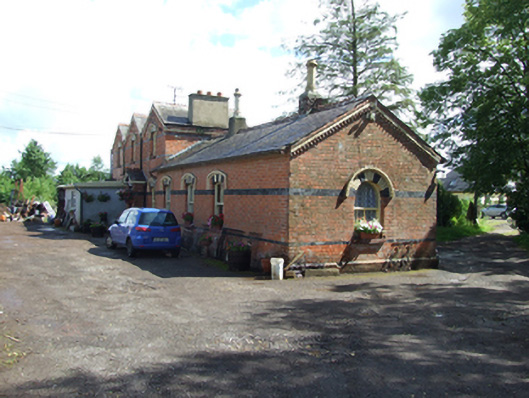 station master's house, railway stationstation master's house, railway station · 1343 yd
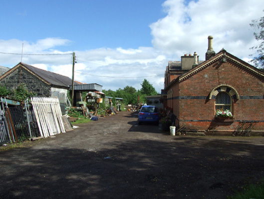 Neary Engineering Ltdstore/warehouse · 1351 yd
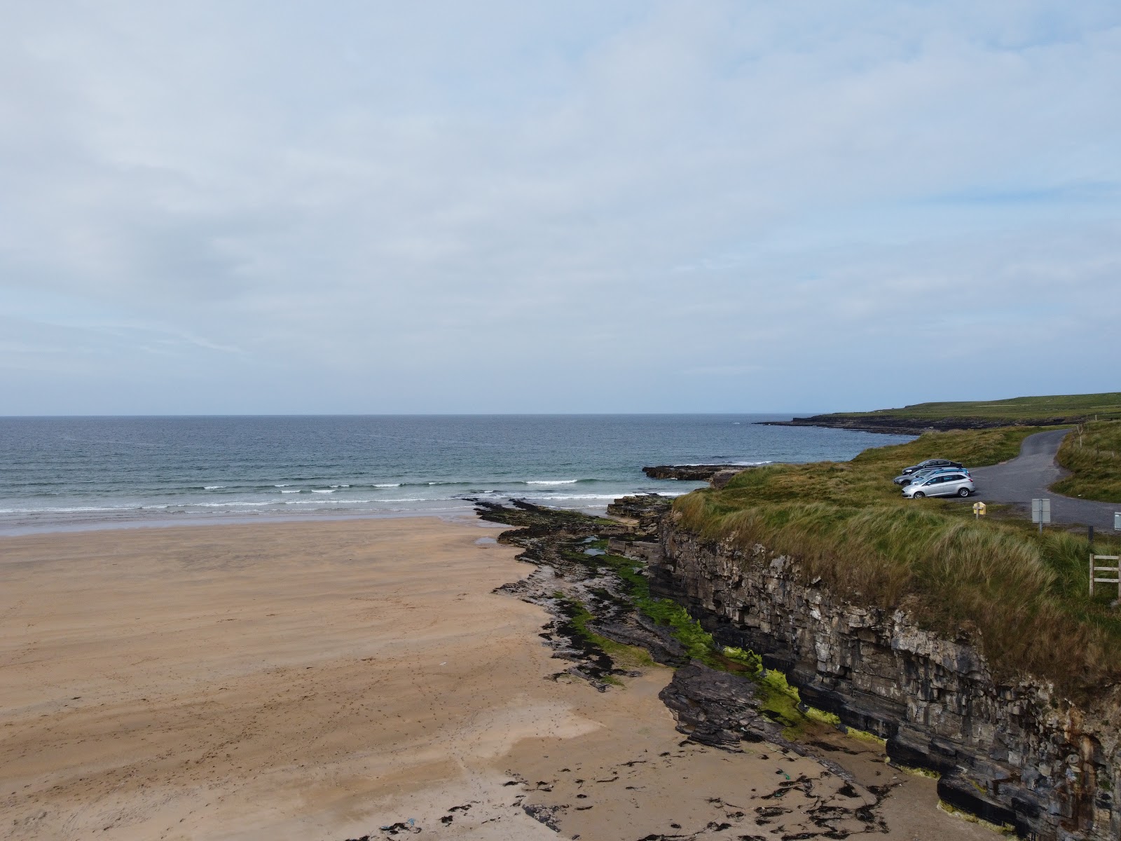 Carrowmore Lecharrownahone ForestForest · 1.1 mi
 Kieran Doherty TD Cavan Monaghan MemorialMonument · 1.2 mi
 Ballyheady CairnArchaeological place · 1.5 mi
 Court tomb in Doon (ballyconnell Ed)Court tomb · 1.6 mi
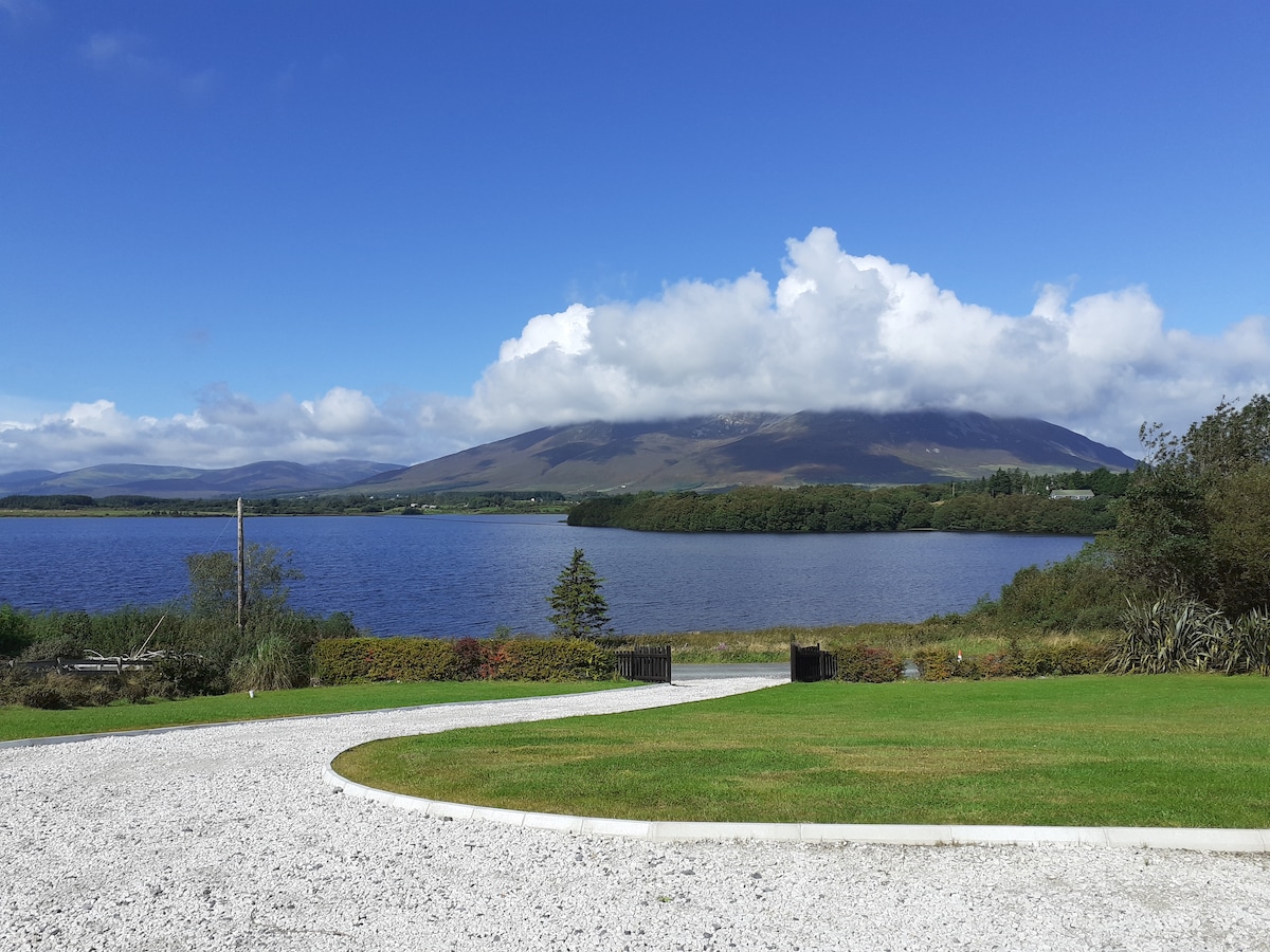 Annagh WoodsWood · 1.7 mi
 Bellaheady MountainMountain / peak · 1.7 mi
 Bilberry HillMountain / peak · 2.3 mi
 Killycluggin StoneVisitor information · 2.4 mi
 LissanoverCastle, unclassified · 2.6 mi
 Swallow HoleCave · 2.8 mi