What is recorded here
Half a mile from the last house, the fort keeps its own time. Men drew its shape on paper before it disappeared under grass and quarry scars, yet it still stands in the memory of the field. The fairies never left; they only stopped answering names that forgot how to ask.
On the NE slope of a low rise in pasture. Depicted as a D-shaped enclosure with the designation 'Fort' on the 1837 ed. of the OS 6-inch map. A straight N-S running roadway formed the W side. Named 'Site of' on the 1883 revised ed. and depicted as a pit on the 1914 ed. A report in 1984 (SMR file) noted that a small quarry, partly obscured by ash trees, occupied the site of the 'fort'.
Compiled by: Patrick F. O'Donovan
Date of upload: 14 November 2012
The monument record does not grant public access. Check the route and ask the landowner before entering private land.
- What survives
- Recorded monument
Places near here
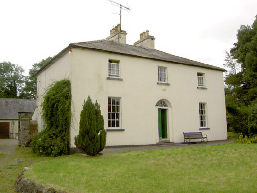 Rathcline Glebe Houserectory/glebe/vicarage/curate's house · 1250 yd
 Enclosure in Formoyle (newcomen)Enclosure · 1291 yd
 Formoyle Ho. in ruinsHouse, 17th century · 1329 yd
 Cross in Glebe (rathcline By., Rathcline Ed)Cross · 1498 yd
 Rathcline CastleBawn · 1.3 mi
 Goat's IslandIslet · 1.4 mi
 Little IslandIslet · 1.5 mi
 White Sand WoodWood · 1.6 mi
 Wild birdsVisitor information · 2.2 mi
 Commons North WalkVisitor information · 2.5 mi
 Caltragh CastleCastle, unclassified · 3.2 mi
 Cruit BayBay · 3.8 mi