What is recorded here
Thirty-four metres across in a shallow valley, the forgotten ring still stands with a fat earthen bank and no gate in sight. People called it a fairy fort because the shape resisted human explanation, but more likely it marked a household, a shrine or a boundary someone stopped maintaining before the grass took it back. The northern gap may be erosion or plunder; the missing entrance may simply have never been a gap at all.
Situated in a low-lying undulating landscape with rock outcrop. This is an overgrown circular area (int. diam. 34m) defined by an earthen bank (Wth 3.2m; H. 0.55m), part of which has been removed at N. There is no visible fosse and the original entrance is not identified.
The above description is derived from 'The Archaeological Inventory of County Leitrim' compiled by Michael J. Moore (Dublin: Stationery Office, 2003). In certain instances the entries have been revised and updated in the light of recent research.
Date of upload: 23 September 2008
This remains an important historical record, but the official description says the monument is no longer visible or has been destroyed. The monument record does not grant public access. Check the route and ask the landowner before entering private land.
- What survives
- No visible remains or recorded as destroyed
Places near here
 Fairy fort / stone ringfort in AghakilmoreFairy fort / stone ringfort · 223 yd
 LisconorFairy fort / earthen ringfort · 855 yd
 bridgebridge · 1.4 mi
 Sheemore Ambush MemorialMonument · 1.5 mi
 Leabaidh DermotCave · 1.5 mi
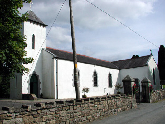 Saint Brigid's Catholic Churchchurch/chapel · 1.6 mi
 Rusheen IslandIslet · 2.2 mi
 Small IslandIslet · 2.4 mi
 Castle JohnCastle · 2.4 mi
 Shannon-Erne WaterwayVisitor information · 2.9 mi
 Sit of Breifny CastleCastle, tower house · 2.9 mi
 Battle of Áth an Chipbattle · 3.2 mi