What is recorded here
Thirty-five metres across on rising ground above the River Brick, the earthen ring still marks a life lived in shadow and flame. A wide low bank encloses the circle, broken only by a gap in the north-east where people entered or fled. Heat may have risen nearby in a hunting cookery, filling the valley with smoke and the smell of roasted meat. Much has been levelled, yet the fort remains visible because its shape is still written in the land.
Internal diameter 33m N-S, 35m E-W
This univallate rath has now been much levelled, but it is still quite distinguishable. It is situated on slightly rising land, which is gently sloping SE to the River Brick. According to the landowner, a fulacht fiadh lay to the E (KE015-120----). This site consists of a circular area enclosed by a low, wide earthen bank c 10m in width at the base. The enclosing bank rises to a maximum height of 1.4m above the surrounding land, and .7m-1.2m above the interior. In the NE sector there is a gap of 9m in this bank.
The above description is derived from C. Toal, ‘North Kerry Archaeological Survey’. Dingle. Brandon in association with FAS Training and Employment Authority (1995), no. 510. In certain instances the entries have been revised and updated in the light of recent research.
Date of upload: 2 August 2013
The monument record does not grant public access. Check the route and ask the landowner before entering private land.
- What survives
- Recorded monument
Places near here
 Fulacht fia in AghacooraFulacht fia · 97 yd
 Enclosure in AghacooraEnclosure · 246 yd
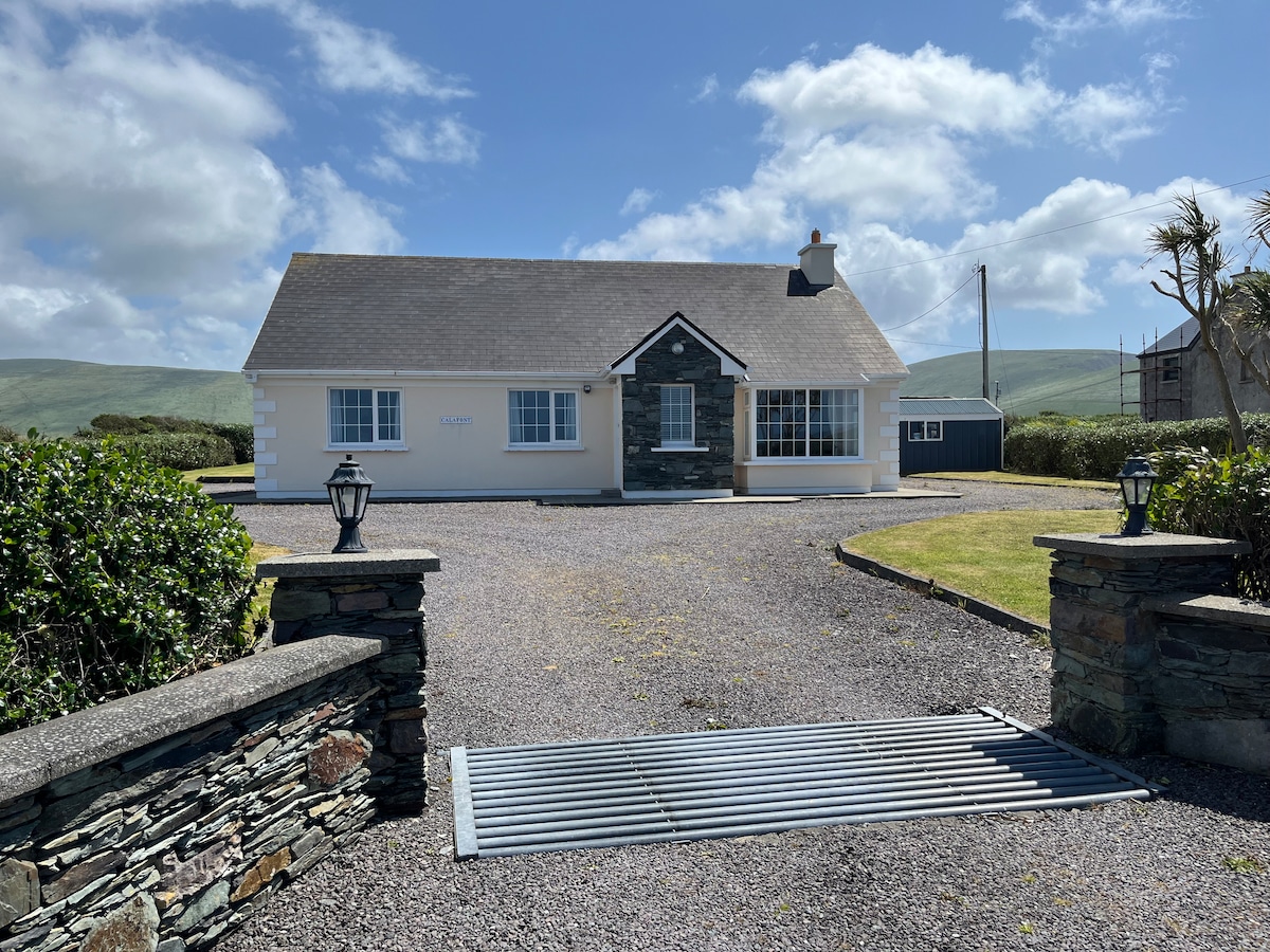
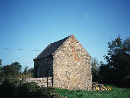 Crotta Housegate lodge · 1731 yd
 CastleCastle, Anglo-Norman masonry castle · 1.7 mi
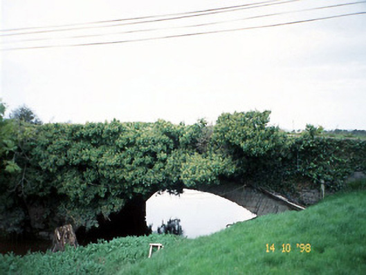 Lixnaw Bridgebridge · 1.8 mi
 Kilflynn Nature ReserveNature reserve · 2.1 mi
 Ballymacaquinn Castle (remains of)Castle · 3.3 mi
 CruslineMountain / peak · 4.7 mi
 Stack's MountainMountain / peak · 4.8 mi
 Tobar na MoltSpring · 5.4 mi
 Ardfert Franciscan FriaryVisitor information · 6.5 mi
 Ardfert FriaryVisitor information · 6.5 mi