What is recorded here
Situated atop a natural gravel ridge with good views in all directions. Piggott's castle (LA013-061001-) 390m to N amd Dysart church (LA013-059001-) and graveyard (LA013-059003-) 210m to WSW. Depicted as a small circular-shaped earthwork (approx. diam. c. 28m) and annotated as 'Fair Green' on the 1838 ed. OS 6-inch map. Depicted as a circular earthwork on the current ed. OS 6-inch map. No surface remains visible in field where 'Fair Green' and earthwork is marked on 1838 ed. OS 6-inch map. This earthwork acted as the focus point for the Fair Green of Dysart Enos and may represent the remains of an Anglo-Norman earthwork such as a motte or ringwork associated with nearby church and graveyard although this is uncertain. Fairs used to be held at this location on Whit-Monday, and on the 12th of October (O'Hanlon and O'Leary 1907, 231).
Compiled by and revised by: Caimin O'Brien
Date of revision: 2 October 2014
The monument record does not grant public access. Check the route and ask the landowner before entering private land.
- What survives
- Recorded monument
Places near here
 Round tower in DysartRound tower · 222 yd
 Church (in Ruins)Church · 232 yd
 Enclosure in DysartEnclosure · 294 yd
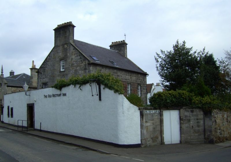 Bawn in DysartBawn · 451 yd
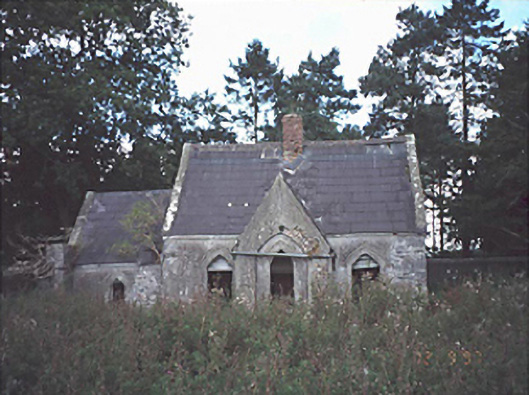 Lamberton Housegate lodge · 1355 yd
 Rock of DunamaseCastle · 1.3 mi
 Rock of Dunamase, Castle (in Ruins)Castle, Anglo-Norman masonry castle · 1.3 mi
 Rock of Dunamase InformationVisitor information · 1.3 mi
 Burial Ridge of MaryboroughMemorial · 2.9 mi
 Portlaoise CourthouseMemorial · 3.1 mi
 European BeechEuropean Beech · 3.3 mi
 Rock of CashelMountain / peak · 3.5 mi