What is recorded here
One chamber contained a seventeenth-century malting kiln, its heat long dead but its purpose plain: to wake barley into malt. The others preserved medieval occupation and a post-medieval town wall, layer upon layer under what looked like empty ground. Together they showed that the site was never quiet. People kept returning, building, breaking and burying their own lives beneath new ones.
The official Northern Ireland record identifies this as EXCAVATION SITE - CF 23 - Malting kiln (17th c), medieval occupation & post-med. town wall.. Recorded period: MEDIEVAL; POST-MED. The official map point was placed at the centre of the recorded archaeological site from the source map reference.
The monument record does not grant public access. Check the route and ask the landowner before entering private land.
- What survives
- Recorded monument
Places near here
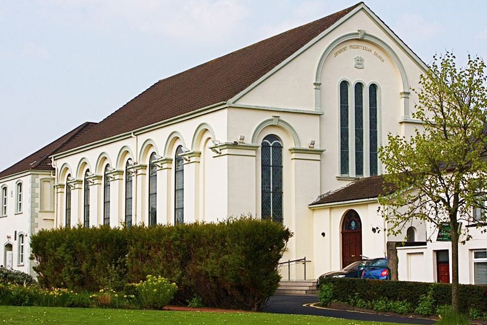
 First Presbyterian ChurchChurch · 35 yd
 Siege of Carrickfergussiege · 41 yd
 St. Nicholas' Church of Ireland ChurchChurch · 148 yd
 MEDIEVAL PARISH CHURCH, POST-MED. & MODERN CHURCH & GRAVEYARD: ST NICHOLAS' CHURCH, ST NICHOLAS OF CRAGFERGUS in CarrickfergusMEDIEVAL PARISH CHURCH, POST-MED. & MODERN CHURCH & GRAVEYARD: ST NICHOLAS' CHURCH, ST NICHOLAS OF CRAGFERGUS · 153 yd
 Carrickfergus MuseumMuseum · 176 yd
 FORTIFIED HOUSE built on FRANCISCAN FRIARY: JOYMOUNT in CarrickfergusFORTIFIED HOUSE built on FRANCISCAN FRIARY: JOYMOUNT · 240 yd
 King William III MonumentMonument · 333 yd
 US RangersMemorial · 343 yd
 ENCLOSURE in Carrickfergus; East Central WardENCLOSURE · 370 yd
 Battle of Carrickfergus (1760)Major battlefield · 371 yd
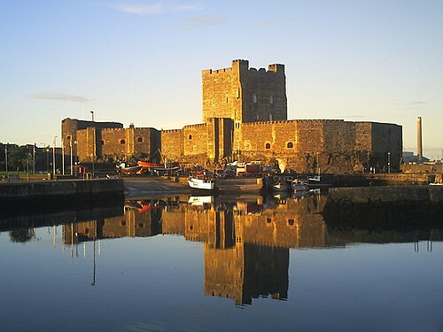 Carrickfergus CastleCastle · 374 yd
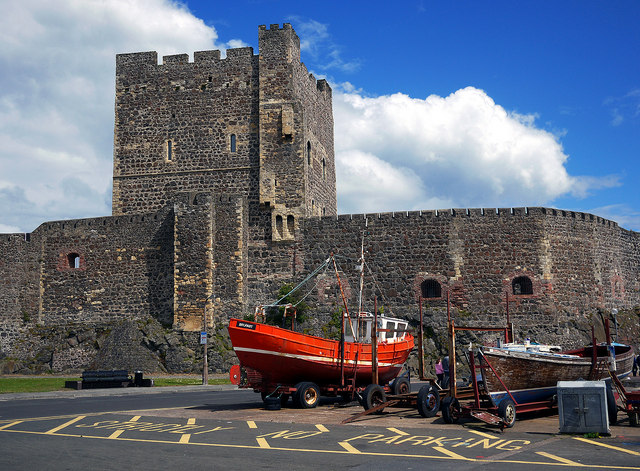 CARRICKFERGUS CASTLE in CarrickfergusCARRICKFERGUS CASTLE · 380 yd