What is recorded here
Mud and marbles. Behind the museum glass a shallow trench holds white chips and dark soil. A child’s red boot print still marks the edge. The guard forgets to wipe it. Nobody corrects him. The digger’s own shadow falls across the case at noon. The chamber smells of rain on new concrete. A town remembered through one small hole in the ground.
The official Northern Ireland record identifies this as EXCAVATION SITE - CF 20 - Medieval town ditch, post-med. town wall, ditch & structures. Recorded period: MEDIEVAL; POST-MED; C18TH. The official map point was placed at the centre of the recorded archaeological site from the source map reference.
The monument record does not grant public access. Check the route and ask the landowner before entering private land.
- What survives
- Recorded monument
Places near here
 MEDIEVAL PARISH CHURCH, POST-MED. & MODERN CHURCH & GRAVEYARD: ST NICHOLAS' CHURCH, ST NICHOLAS OF CRAGFERGUS in CarrickfergusMEDIEVAL PARISH CHURCH, POST-MED. & MODERN CHURCH & GRAVEYARD: ST NICHOLAS' CHURCH, ST NICHOLAS OF CRAGFERGUS · 108 yd
_-_geograph.org.uk_-_3549028.jpg?width=1280) Kelly's Coal OfficeOffice · 111 yd
Kelly's Coal OfficeOffice · 111 yd St. Nicholas' Church of Ireland ChurchChurch · 113 yd
 King William III MonumentMonument · 186 yd
 Siege of Carrickfergussiege · 205 yd
 Battle of Carrickfergus (1760)Major battlefield · 255 yd
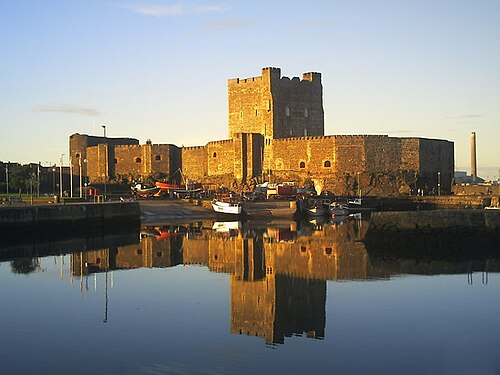 Carrickfergus CastleCastle · 258 yd
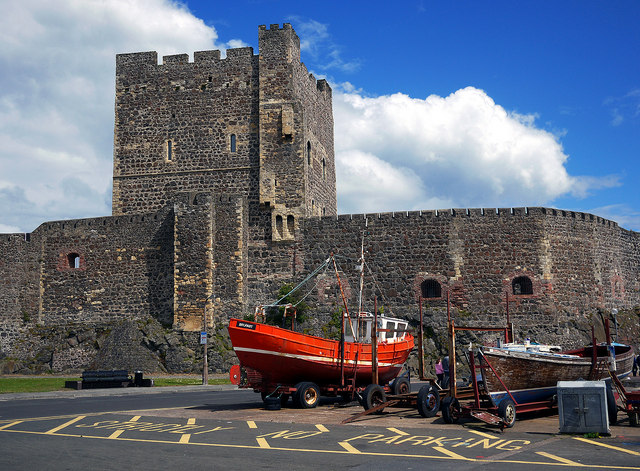 CARRICKFERGUS CASTLE in CarrickfergusCARRICKFERGUS CASTLE · 263 yd
 Carrickfergus MuseumMuseum · 346 yd
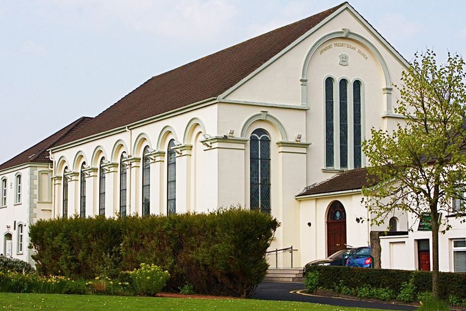 FORTIFIED HOUSE built on FRANCISCAN FRIARY: JOYMOUNT in CarrickfergusFORTIFIED HOUSE built on FRANCISCAN FRIARY: JOYMOUNT · 375 yd
 ENCLOSURE in Carrickfergus; East Central WardENCLOSURE · 555 yd
 US RangersMemorial · 580 yd