What is recorded here
Half a metre of soil hid the west wall of Trim, but beneath that thin skin of garden dirt and nineteenth-century chips sat a two-metre rib of rubble and orange clay. The wall had worn its stone face like a coat, then shed it, leaving the raw jointwork exposed to rain and roots. It is not a grand ruin, yet it marks the exact line where the medieval town stopped pretending to be field and became wall.
Located just inside the SW angle of the medieval town of Trim. Archaeological testing (01E0615) on the W side of Emmet St. identified subsoil sloping down from N (D 0.5m) to S (D 0.8-1.3m) but this was largely covered with a garden soil that contained mixed wares including nineteenth century material, and no medieval occupation was identified (Hayden 2002). An earthen bank with trees and mortared stone tumble on the W side (total Wth c. 3m; H c.1m) formed the W edge of the development site on the line of the town wall. Removal of the trees and tumble revealed an earthen bank (Wth c. 2m; H c. 0.7m) with a stone-faced and cemented W edge. Excavation of the bank exposed the core of the town wall as rubble masonry bonded with friable off-white coarse sandy mortar beneath the stone-facing and an orange clay (Hayden 2002a). (Hayden 2004)
Compiled by: Michael Moore
Date of upload: 9 July, 2019
The monument record does not grant public access. Check the route and ask the landowner before entering private land.
- What survives
- Recorded monument
Places near here
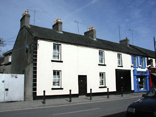 Castleview Househouse · 77 yd
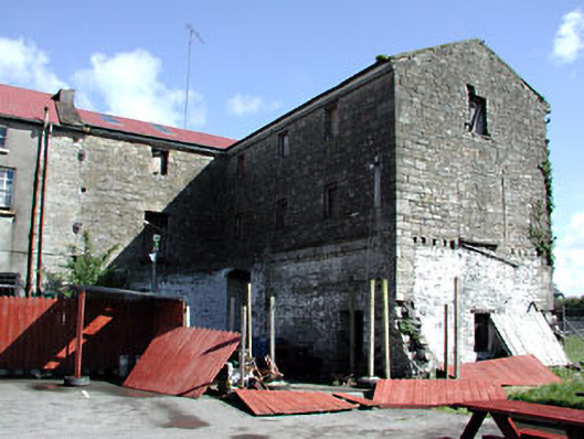 mill (water)mill (water) · 98 yd
 Wellington MonumentMonument · 223 yd
 Trim CastleCastle, Anglo-Norman masonry castle · 337 yd
 CastleCastle, hall-house · 353 yd
 Fortification in Manorland (1st Division)Fortification · 353 yd
 Saints IslandForest · 3.7 mi
 Small-leaved ElmSmall-leaved Elm · 4.0 mi
 Tara Open StudioGallery · 7.8 mi
 Kilgar GardensHeritage attraction · 9.2 mi
 Old Bog Road made famous by Teresa Bryton 1868-1943Memorial · 9.2 mi
 MullaghMountain / peak · 9.4 mi