What is recorded here
Excavation in County Meath revealed a wide ditch sealed beneath two metres of limestone rubble, suggesting a forgotten boundary buried long before human memory. The ditch held water-logged peat, animal bones and sheep or goat horn, while the surrounding land remained open wet grassland with some arable fields. A later medieval building rose above the same line, its wall following the hidden ditch as if the old shape still guided new hands. The place records how living people kept returning to the same slope, changing its surface while the deep water-logged trench waited patiently beneath.
Situated on a S-facing slope and on the NW side of Main Street. An archaeological rescue excavation and watching brief (E000404) in 1987 uncovered evidence of a medieval building (ME036-048046-) and other features. In the course of the watching brief the NW wall of the new structure was found to be on the line of a large NE-SW ditch (Wth of top 3m plus, D 2.5m) which was sealed beneath 2m of limestone rubble. The ditch was relatively straight-sided with a flat bottom and was filled with a fairly homogenous water-logged brown peat containing animal bones and sheep or goat horn as well as fragments of wood and lenses of straw that were rich in macro-environmental material. No pottery or other artefacts were recovered, which suggests a pre- Anglo Norman date (Walsh 1990-1, 46). The environmental samples support this and suggest that while food waste was being deposited in the ditch, it was in open, fairly wet grassland with some arable in the vicinity (Collins 1990-1, 63-7).
A ditch or pit (Wth of top c. 5m; D 2.1m plus) which produced no dateable material was uncovered in archaeological testing (19E0573) by L. Coen just to the SW (excavations.ie 2019: 245, 602). If it is a ditch it is probably a continuation of this feature. (Coen 2019)
Compiled by: Michael Moore
Date of upload: 9 July, 2019
Amended: 30 April, 2021
The monument record does not grant public access. Check the route and ask the landowner before entering private land.
- What survives
- Recorded monument
Places near here
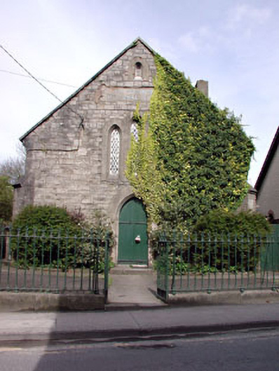 Saint Patrick's National Schoolschool · 31 yd
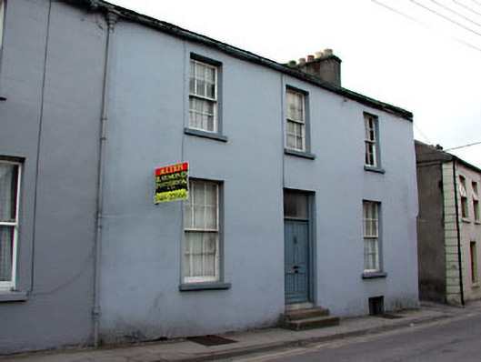 Blackhall Househouse · 52 yd
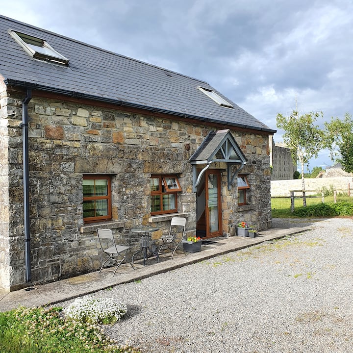 IndicatedTown defences · 66 yd
 Cross in Townparks NorthCross · 174 yd
 CastleCastle, hall-house · 277 yd
 Trim CastleCastle, Anglo-Norman masonry castle · 350 yd
 Small-leaved ElmSmall-leaved Elm · 3.7 mi
 Wych ElmWych Elm · 3.7 mi
 Tara Open StudioGallery · 7.6 mi
 Kilgar GardensHeritage attraction · 9.4 mi
 MullaghMountain / peak · 9.4 mi
 Old Bog Road made famous by Teresa Bryton 1868-1943Memorial · 9.4 mi