What is recorded here
Situated on a slight S and E-facing slope at the S edge of Taghmon town. It is c. 150m NW of the probable site of the original St. Munna’s church (WX041-008003-) and c. 70m W of the probable site of the parish church (WX041-008015-). Archaeological testing and excavation (98E0483) identified three parallel ditch features that were water-logged running NW-SE but perhaps turning SW at their S end (Mullins 2000a). Radiocarbon results and pottery analysis suggests that one of the ditches is 1st to 5th century AD in date while the others are of medieval date (Mullins 200b). Other ditches are connected with the main ditches but they are concentrated in a confined area, although undoubtedly extending outside the development area (Mullins 2002). Away from the ditches a pit (diam. 3m; D 0.6m) containing charcoal and cremated bone and producing a C14 date of AD 660-795 was excavated at the S edge of the development site.
The monument record does not grant public access. Check the route and ask the landowner before entering private land.
- What survives
- Recorded monument
Places near here
 CrossCross, High cross · 86 yd
 Taghmon CastleCastle · 98 yd
 Saint Munna's Church (Taghmon)church/chapel · 99 yd
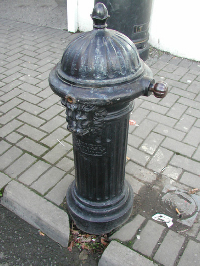 water pumpwater pump · 109 yd
 Field system in TaghmonField system · 197 yd
 Bawn in SiginshaggardBawn · 1.4 mi
 Carrickatinna RockMountain / peak · 3.5 mi
 Raven RockMountain / peak · 3.5 mi
 Coolcliffe HouseRuins · 3.8 mi
 Battle Of The Three RocksMemorial · 4.3 mi
 Battle of Three Rocksbattle · 4.7 mi
 Celebrating 125 YearsMemorial · 5.0 mi