What is recorded here
Island Road in County Limerick holds a buried latrine tower and city wall, discovered in March when machines cut through soil to map the northern boundary before building a relief road. The tower sits slightly short of the wall corner, forcing water and waste through blocked arches instead of stopping soldiers, while a deep ditch beside the wall records later sieges and human urgency. What looks like a defensive mistake may have been a practical compromise, shaping the edge of the city around bodily needs as much as danger.
Excavations undertaken at Island Road by Brian Hodkinson under licence No. 95E064 was summarised as following; 'A three-week excavation was carried out in March on behalf of Limerick Corporation to identify the line of the city wall [LI005-017010-] prior to construction of the proposed Northern Relief Road. The site lies at the northern end of the medieval city [LI005-017----] and cartographic evidence shows the line of the city wall crossing the site. When trial-trenched by Celie O Rahilly earlier in the year, a small stone tower at the southern end of the site had been identified, as well as a linear mortar feature running northwards across the site, which was interpreted as representing the line of the wall.
Excavation showed that Ms O Rahilly's interpretation was correct. Over most of the site the wall had been robbed out to foundation level and all that remained was the base of the foundation trench. Two machine-dug trenches at right angles to the wall line showed that the subsoil dipped sharply on the outside of the wall into a ditch at least 10m in width, with its base over 5m below the surviving ground level immediately outside the wall. The finds from the ditch were all post-medieval in date, so it is assumed that an earlier medieval ditch had been recut, probably in connection with one of the three 17th-century sieges. At the time that the wall was robbed out, in the latter part of the 18th century or later, the ground level within the wall line had been lowered slightly to remove the upper part of the original foundation trench.
At the southern end of the site was a surviving short length of the wall, including the tower. This continued the known line of the wall from the south c. 9m into the site, at which point the wall was robbed out. This section of wall was on a completely different line to that on the northern part of the site, and an 8m-long robber trench was identified linking the two. The wall thus turned through two right angles on the site. The reason for this is not absolutely clear but may be linked to the function of the tower. While the northern section was on the natural height, the southern section seems to have been deliberately placed downslope, possibly to avail of proximity to the ditch. The tower, which measures 4.5m north-south by 2m east-west, is badly sited for defensive purposes, being c. 2.5m short of the turn in the wall and not at the corner. Both the north and south walls of the tower incorporate arches, both of which were blocked, so it would seem that the tower was originally designed for water to pass under it. Given the dimensions and design, it appears to have functioned as a latrine tower.
The majority of the finds were post-medieval in date, which is unsurprising given the extent of modern disturbance on the site. There were, however, a few sherds of medieval pottery and several fragments and one complete example of medieval floor-tile. The latter are presumed to come from the Dominican friary [LI005-017047-] which lay on the property immediately to the south(www.excavations.ie)'.
Compiled by: Caimin O'Brien
Date of upload: 24 December 2019
The monument record does not grant public access. Check the route and ask the landowner before entering private land.
- What survives
- Recorded monument
Places near here
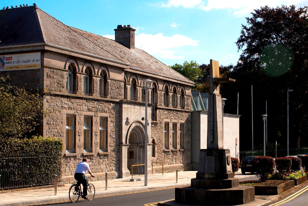 Burial in Limerick CityBurial · 69 yd
 St. Dominicks Abbey (in ruins)Religious house, Dominican friars · 98 yd
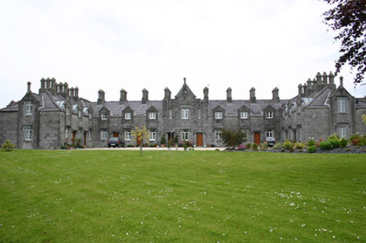 Villiers Alms Housesalmshouse · 112 yd
 CastleCastle, unclassified · 147 yd
 Michael HoganMemorial · 163 yd
 Town WallTown defences · 184 yd
 King's IslandIsland · 191 yd
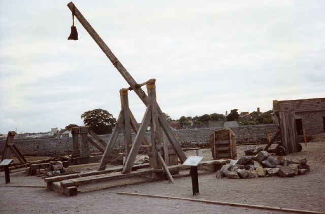 Castle BarracksCastle, Anglo-Norman masonry castle · 226 yd
 King John's CastleHeritage attraction · 233 yd
 Graveyard in Limerick CityGraveyard · 237 yd
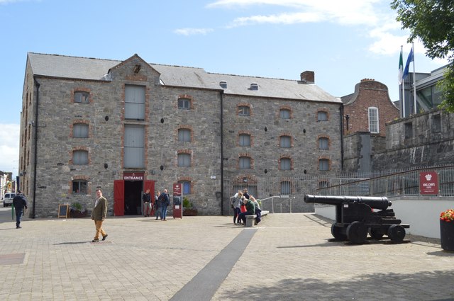 King John's Visitor's CentreMuseum · 238 yd
 Curragower FallsWaterfall · 428 yd