What is recorded here
Two trenches were excavated here in 2003, prior to the construction of the dual carriageway from the R671 to Greystones (Excavation Licence 03E1188 (Site I)). 'Trench A' (L 20m N-S; Wth 8m) contained two spreads of black silty clay with charcoal and a circular pit containing 75% slag. 'Trench B' (L 5m; Wth 5m) contained a pit (L 2.77m E-W; Wth 2m) with a large quantity of crushed quartz, a fragment of struck flint and a possible flint core. (Molloy 2006, 547)
Compiled by: Claire Breen
Date of upload: 17 January 2013
The monument record does not grant public access. Check the route and ask the landowner before entering private land.
- What survives
- Recorded monument
Places near here
 Enclosure in CharleslandEnclosure · 349 yd
 Enclosure in Ballynerrin (newcastle By., Kilcoole Ed)Enclosure · 547 yd
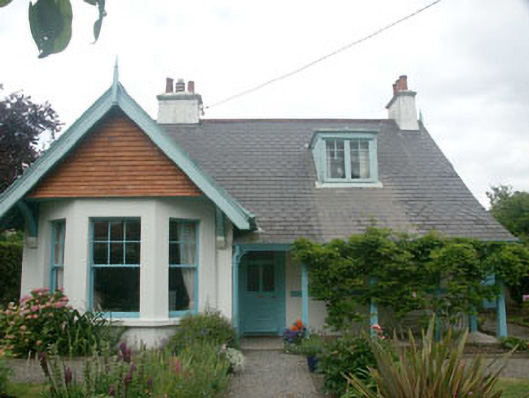 Merritonhouse · 809 yd
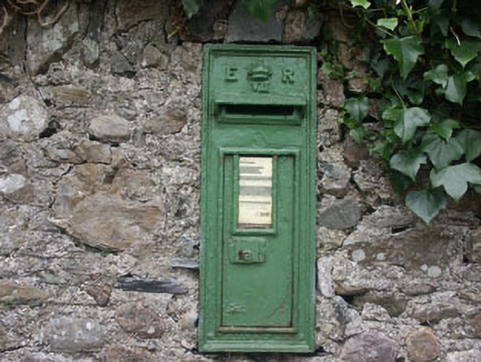 post boxpost box · 841 yd
 Greystones South BeachBeach / strand · 1386 yd
 TuliptreeTuliptree · 1659 yd
 The CoveBeach / strand · 1.2 mi
 Delgany Heritage TrailWalking route · 1.3 mi
 Glenroe FarmHeritage attraction · 1.3 mi
 Kindlestown Castle (in ruins)Castle, hall-house · 1.3 mi
 Rathdown Castle (in ruins)Castle, unclassified · 1.9 mi
 Kindlestown WoodForest · 2.0 mi