What is recorded here
Half a kilometre from the Boyne, a shallow slope hid medieval ditches and pits that no house ever anchored. People may have stood there, dropped tools, or buried animals before modern pipes cut through the same soil. The absence of walls does not mean absence of life; it means life left only holes and shadows.
Located at the crest of a NE-facing slope down to a NW-SE stretch of the River Boyne which is c. 100m distant. Archaeological testing (99E0512) identified archaeological features (O’Carroll 1999) at the top of the slope, which were subsequently fully resolved (Russell 2002, 2004) under another licence (02E1004). A total of three drainage ditches, three pits, and four other possible pits were probably medieval in date. Furthermore eight areas of oxidised clay could have been associated with the pits, and two drainage ditches could be remnants of a medieval system. Post-dating the medieval material were six furrows, four animal burials, three modern pits and two sewer pipes. Most of the medieval artefacts recovered were in a disturbed topsoil, which included finds down to the twentieth century. No house sites or settlement evidence was recovered.
Compiled by: Michael Moore
Date of upload: 8 July, 2019
O’Carroll, F. 1999 Archaeological Assessment of proposed development at Maudlin Commons (4th Division), Trim, Co. Meath. Licence No. 99E0512. Unpublished report, Cultural Resource Development Services.
The monument record does not grant public access. Check the route and ask the landowner before entering private land.
- What survives
- Recorded monument
Places near here
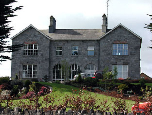 Highfield Househospital/infirmary · 42 yd
 IndicatedChurch · 141 yd
 Trim CastleCastle, Anglo-Norman masonry castle · 292 yd
 Fortification in Manorland (1st Division)Fortification · 308 yd
 CastleCastle, hall-house · 360 yd
 Wellington MonumentMonument · 426 yd
 Saints IslandForest · 3.5 mi
 Small-leaved ElmSmall-leaved Elm · 3.8 mi
 Kilgar GardensHeritage attraction · 9.0 mi
 Old Bog Road made famous by Teresa Bryton 1868-1943Memorial · 9.1 mi
 MullaghMountain / peak · 9.1 mi
 Larchil Arcadian GardensHeritage attraction · 9.4 mi