What is recorded here
Located on a SW-facing slope c. 300m SW of a col between Camlin Hill c. 400m NW of the col and an E-W spur of Ballylane Hill that rises to the E of the col. Centre-line testing (E4067) in advance of the N25 New Ross by-pass identified a pit (diam. 0.95-1m; D 0.28m), a hearth (dims. 0.3m x 0.4m; D 0.1m) and a possible slot-trench (L 2.6m Wth 0.75m; D 0.23m) that had a fill of grey-brown silty clay with charcoal inclusions (Doyle et al. 2010, 36). It was set aside for resolution as Camlin 8, Area B when further excavation (E4113) identified a pit (dims 1.1m x 1m; D 0.25m) occupied by a large stone with a smaller pit (dims 0.3m x 0.28m; D 0.09m) to the E as well as post-medieval features (Clark and Hackett 2010, 9; Hackett 2013).
Compiled by: Michael Moore
Date of upload: 24 September, 2013
The monument record does not grant public access. Check the route and ask the landowner before entering private land.
- What survives
- Recorded monument
Places near here
 Furnace in CamlinFurnace · 268 yd
 Camlin HillMountain / peak · 583 yd
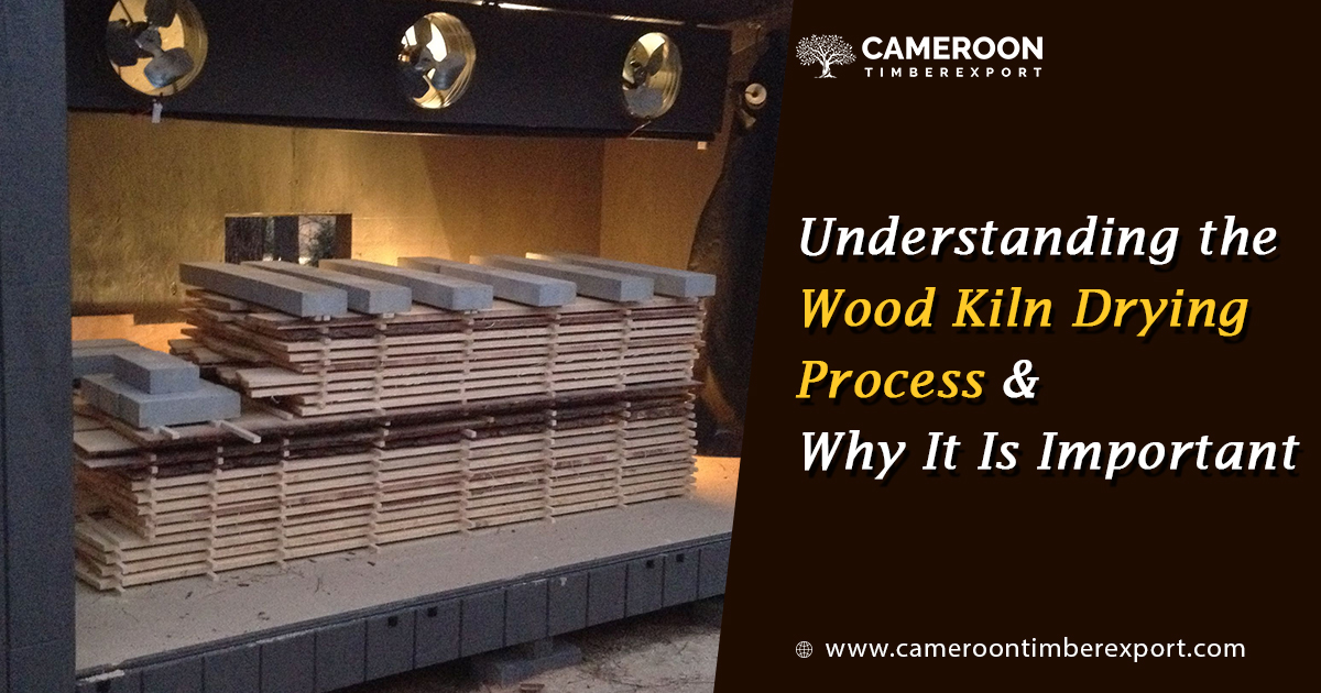 KilnKiln, corn-drying · 587 yd
 Creacon Housefarm house · 667 yd
 Fulacht fia in LandscapeFulacht fia · 733 yd
 Kelly's WoodForest · 1412 yd
 Armaghs Castle (in Ruins)Castle, tower house · 1550 yd
 Partridge HillMountain / peak · 1704 yd
 site of CastleCastle, unclassified · 1.3 mi
 Devon whitebeamDevon whitebeam · 1.7 mi
 Kennedy HomesteadHeritage attraction · 1.8 mi
 Crutched FriarsMemorial · 1.8 mi