What is recorded here
In a pasture field overlooked by Tory Hill to the northeast. Excavated in 2006 in advance of the N9/N10 Kilcullen to Waterford road scheme. (Excavation licence no. E2500; Area 9). A double row of post-holes (L 7.2m), 17 pits and two charcoal spreads. Three pits had cremated bone in their fills. Two samples from this area returned radiocarbon dates ranging from 1420 cal BC to 827 cal BC. A third sample returned a date in the Early Middle Ages, possibly as a result of later intrusion. Metalworking sites were excavated in the same area (KK043-087----). (Wren 2009, 253, no. 997; Wren 2010)
Compiled by: Mary Tunney
Date of upload: 17 September 2013
The monument record does not grant public access. Check the route and ask the landowner before entering private land.
- What survives
- Recorded monument
Places near here
 Church in BallynamorahanChurch · 844 yd
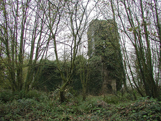 Gaulskill Churchchurch/chapel · 848 yd
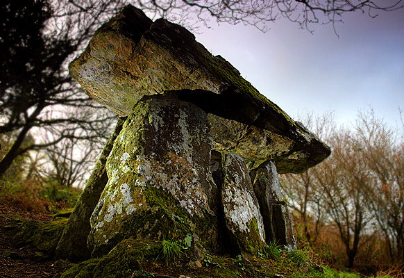 Enclosure in Gaulstown (ida By., Rossinan Ed)Enclosure · 1.0 mi
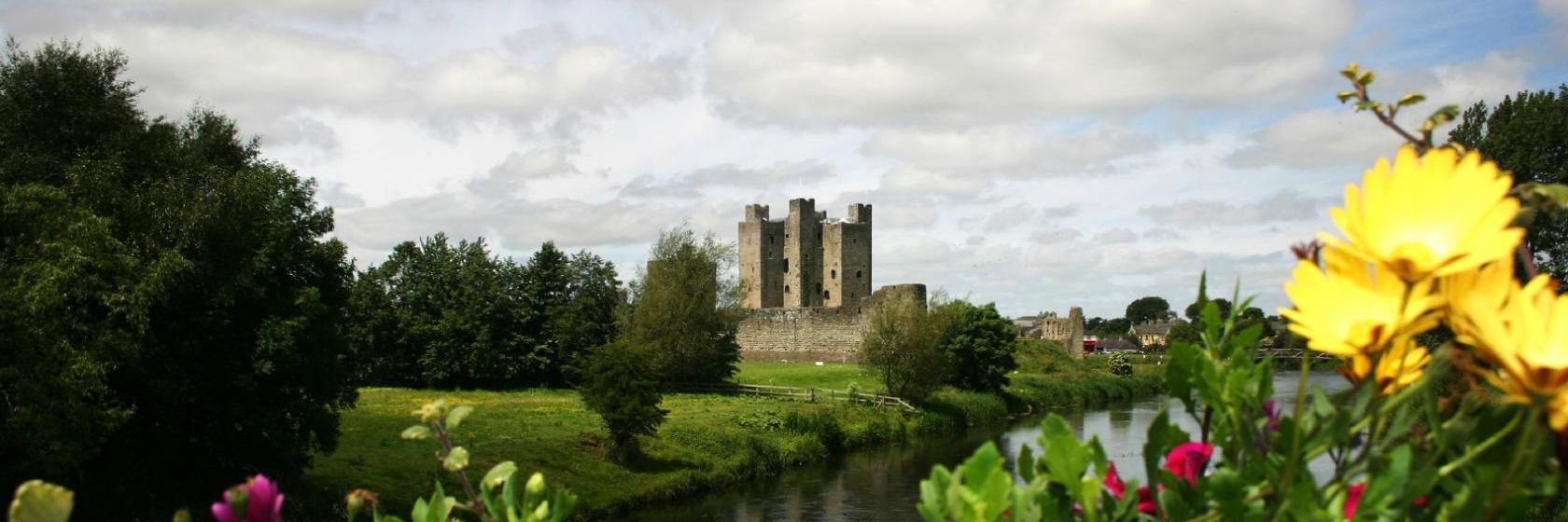 Dangan Castle (Site of)Castle, unclassified · 1.1 mi
 Graul Burkes Castle (Site of)Castle, unclassified · 1.3 mi
 TubbereenanHoly well · 1.4 mi
 Ballynaboley WoodForest · 3.2 mi
 Native Woodland Trust:Grace Dieu ReserveWood · 3.5 mi
 Mount Congreve GardensHeritage attraction · 6.0 mi
 Waterford & Suir Valley RailwayHeritage attraction · 6.5 mi
 Donnell's HillMountain / peak · 8.7 mi
 Tower HillMountain / peak · 8.8 mi