What is recorded here
Excavation near Waterford and Knocktopher revealed a busy threshold where Neolithic beads, Early Medieval fire and later pits still touch the roadcut. The keyhole kiln at the south end may have shaken grain in storms, while the slag pit at the north-east end marks metal pulled from local ore. A road was about to take the place, so the old fires were read before being covered again.
This record is for a number of features of varying dates excavated in advance of the N9/N10 Waterford to Knocktopher road improvement scheme ( Excavation licence number: E2501, Area 10). The remains at the S end of the cutting comprised 8 small pits and a keyhole-shaped corn-drying kiln (in which a Neolithic slate bead was found). At the NE end were two other kilns and 19 pits (one of which produced a possible D-ware sherd) surrounded by 7 burnt pits and the truncated basal slag pit for an Early Medieval smelting furnace. (Wren 2009, 252-3, no. 993; Wren 2010)
Compiled by: Mary Tunney
Date of upload: 28 August 2013
The monument record does not grant public access. Check the route and ask the landowner before entering private land.
- What survives
- Recorded monument
Places near here
 Church in BallynamorahanChurch · 1156 yd
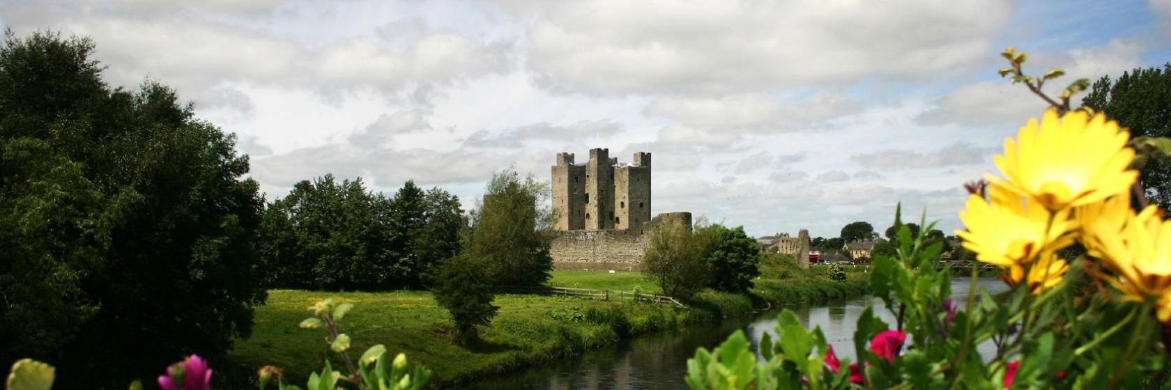
 Gaulskill Churchchurch/chapel · 1163 yd
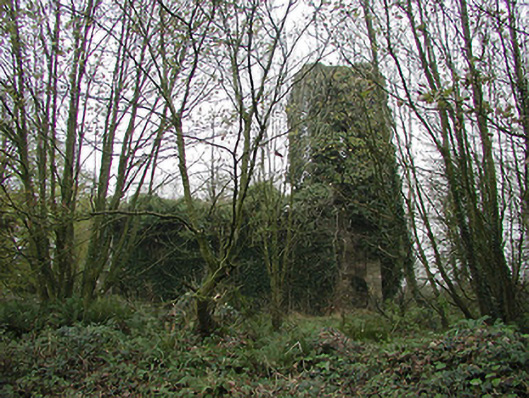
 Dangan Castle (Site of)Castle, unclassified · 1642 yd
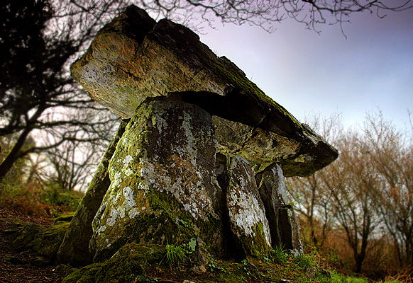 Enclosure in Gaulstown (ida By., Rossinan Ed)Enclosure · 1.2 mi
 Graul Burkes Castle (Site of)Castle, unclassified · 1.4 mi
 TubbereenanHoly well · 1.4 mi
 Ballynaboley WoodForest · 3.1 mi
 Native Woodland Trust:Grace Dieu ReserveWood · 3.7 mi
 Mount Congreve GardensHeritage attraction · 6.2 mi
 Waterford & Suir Valley RailwayHeritage attraction · 6.6 mi
 Tower HillMountain / peak · 8.7 mi
 Donnell's HillMountain / peak · 8.7 mi