What is recorded here
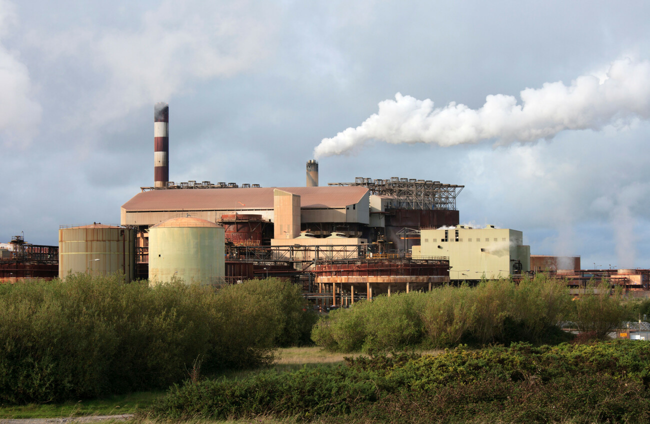
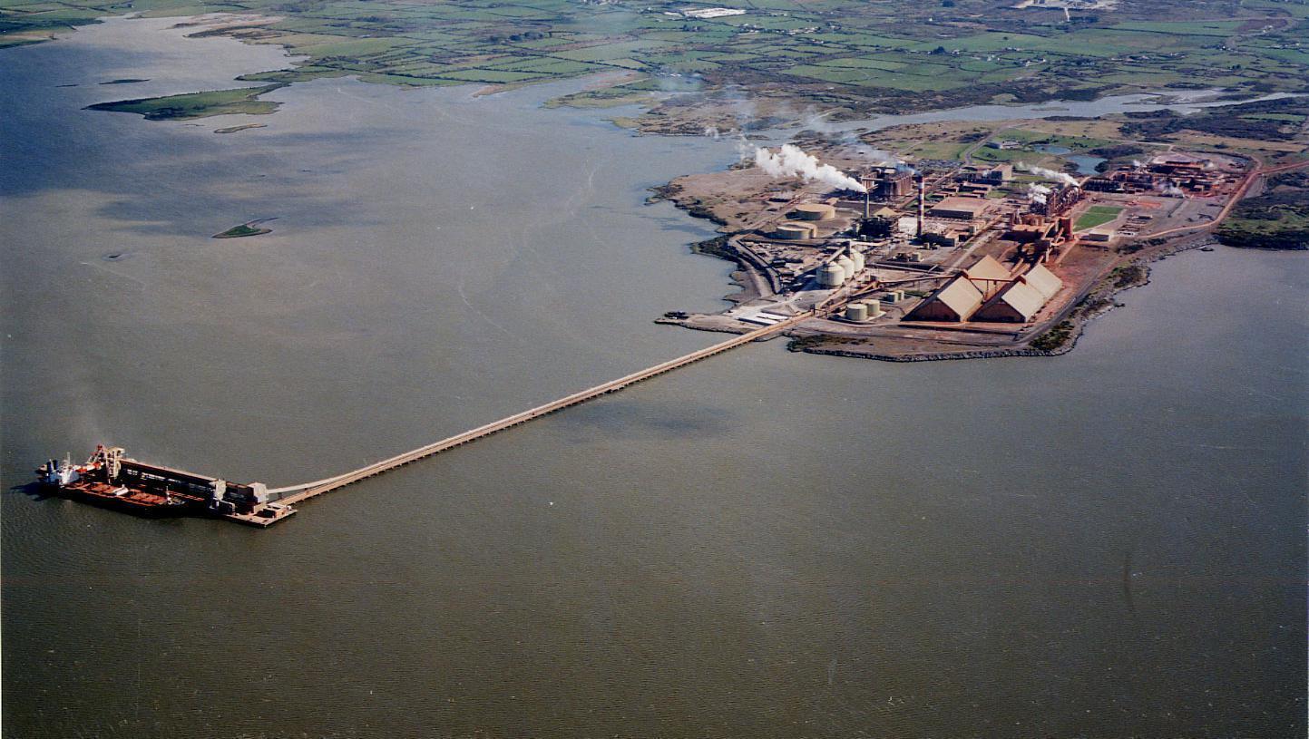
Close to the W edge of Aughinish Island, in an area now occupied by an industrial complex (Aughinish Alumina). The site was excavated in 1974 prior to the industrial development. It consisted of a roughly circular area (diam. 35m) enclosed by a bank revetted internally and externally by limestone slabs and with a rubble core (Kelly 1974). The excavation revealed 'the plan of a circular house 8m in diameter', with 'pits and some entrance features' (ibid.). Coarse pottery was found, similar to that found at a nearby site excavated at the same time 200m to the NW (LI010-017---). The excavator concluded that this site also dated to the Late Bronze Age. Also uncovered was 'a small rectangular stone-walled structure measuring 5m x 4m' which partially overlaid the 'collapsed fort wall', There was no dating evidence for this structure but the excavator compared it with a similar feature excavated at the same time 500m to the S (LI010-018---).
Compiled by: Denis Power
Date of upload: 26 August 2011
The monument record does not grant public access. Check the route and ask the landowner before entering private land.
- What survives
- Recorded monument
Places near here
 ExcavationExcavation, miscellaneous · 236 yd
 Castle (in Ruins), Castle FarmBawn · 476 yd
 Enclosure in Aughinish EastEnclosure · 524 yd
 Aughinish PointHeadland · 990 yd
 Tummera LittleIslet · 1641 yd
 Morgans Househouse · 1.2 mi
 Herring RockNamed rock · 1.2 mi
 TurretCastle, unclassified · 1.3 mi
 Turret (in ruins)Building · 1.4 mi
 Holly IslandIslet · 2.3 mi
 Foynes Flying Boat & Maritime MuseumMuseum · 2.4 mi
 Foynes Island ViewpointViewpoint · 2.5 mi
Other information
Photo: Credit not shown in the picture search · Rights wording not checked; contact us if this picture should be removed