What is recorded here
Yes. Excavation is an open wound in memory, not a finished wound. It is the moment when forgotten shapes return under pressure, carrying markers, edges and hidden life. The danger is not in losing data. The danger is in believing the first story the data tells.
For descriptive account see O'Sullivan and Sheehan (1996, 344, no. 1084, 'In 1988, excavations were undertaken c. 15m outside the present graveyard wall…').
The above description is derived from the published 'Archaeological Inventory of County Kerry. Volume I: South-West Kerry' (Dublin: Stationery Office, 2009). In certain instances the entries have been revised and updated in the light of recent research.
Date of upload: 30 May 2011
The monument record does not grant public access. Check the route and ask the landowner before entering private land.
- What survives
- Recorded monument
Places near here
 Burial GroundGraveyard · 66 yd
 Abbey (in ruins)Church · 73 yd
 Derrynane AbbeyRuins · 81 yd
 Derrynane Bay Beach / Trá Bhá Doire FhionáinBeach / strand · 277 yd
 Abbey IslandIslet · 402 yd
 Lamb's IslandMountain / peak · 525 yd
 Man-made underground passage in Doire Fhionáin MórMan-made underground passage · 863 yd
 Páirc Náisiúnta Stairiúil Dhoire Fhíonáin / Derrynane National Historic ParkNature reserve · 1009 yd
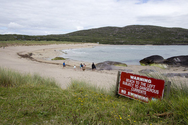 Derrynane Beach / Trá Doire FhíonáinBeach / strand · 1080 yd
 Derrynane House / Teach Dhoire FhionáinHeritage attraction · 1127 yd
 Ogham StoneVisitor information · 1.0 mi
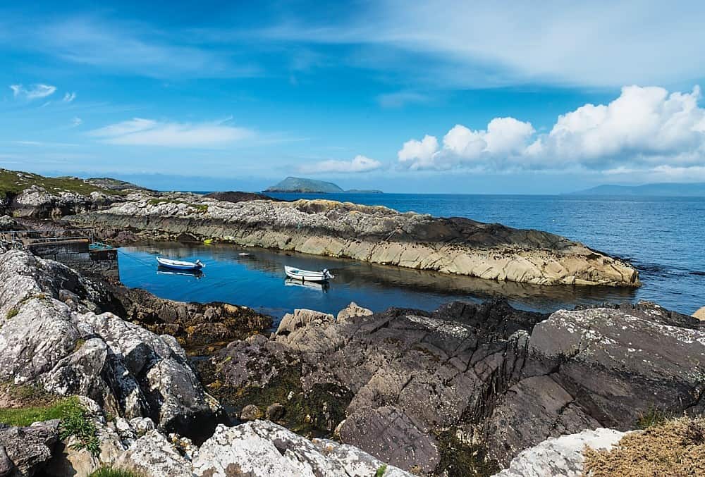 Lamb's Head HillMountain / peak · 1.2 mi