
What is recorded here
Small rectangular area projecting SW into Castlehaven Bay. Westropp (1914, 99) noted, at the neck, 'two very shallow straight fosses with an intervening wall and an inner one revetting a mound'. He describes the outer fosse as a 'shallow hollow' and the next wall outside as probably recent. Defences remains as in Westropp's time. Both inner (H 1.35m) and outer (H 1.2m) banks are earthen. Inner fosse is completely infilled; outer fosse evident (D 0.9m). Central gap in both banks where causeway crosses outer fosse. Interior is grass, heather and gorse covered with rock outcropping. A battery-operated beacon is located on seaward edge.
The above description is derived from the published 'Archaeological Inventory of County Cork. Volume 1: West Cork' (Dublin: Stationery Office, 1992). In certain instances the entries have been revised and updated in the light of recent research.
Date of upload/revision: 14 January 2009
The monument record does not grant public access. Check the route and ask the landowner before entering private land.
- What survives
- Recorded monument
Places near here
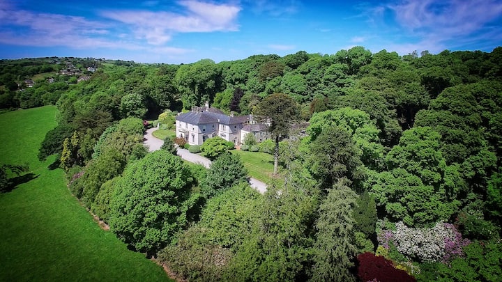 OvensStructure · 74 yd
 Burial PlaceBurial ground · 455 yd
 Battle of Castlehavennaval battle · 511 yd
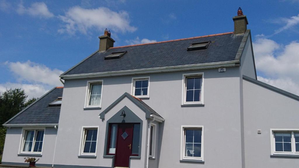 Carraig a NéalladóraMountain / peak · 528 yd
 Faill FraoighCliff · 605 yd
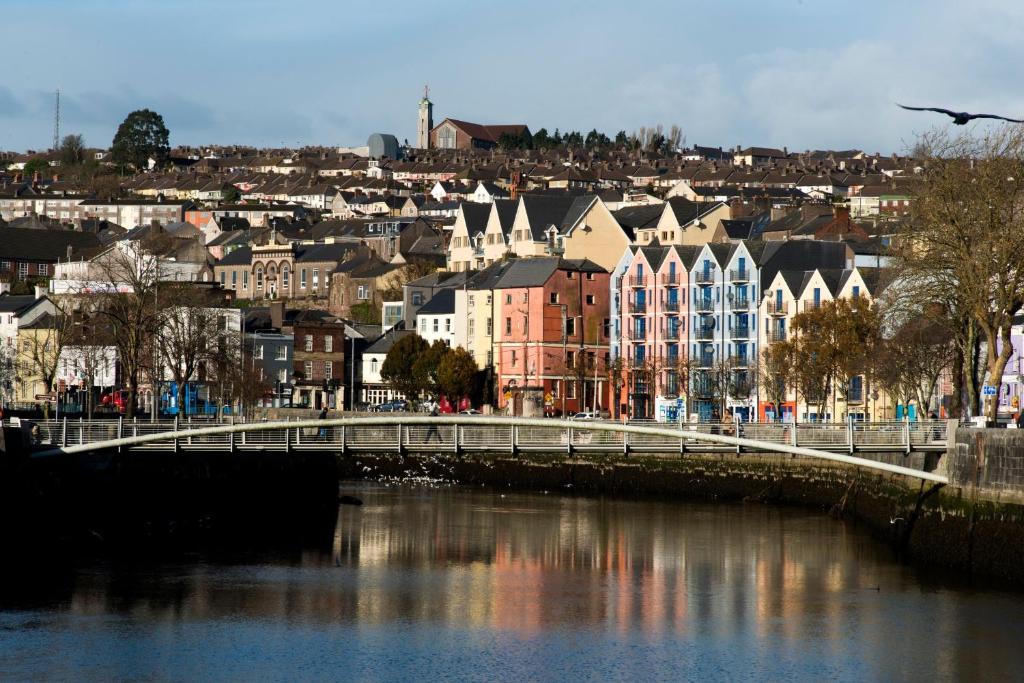 Tráig EilínBeach / strand · 977 yd
 Castlehaven CastleCastle · 1040 yd
 Castlehaven StrandBeach / strand · 1075 yd
 Glenbarahane Church (in Ruins)Church · 1094 yd
 Flea IslandIslet · 1112 yd
 Peggy's MeadowWood · 1119 yd
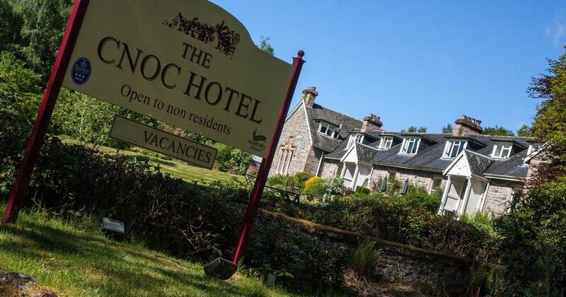 Cnoc Sheáin de BarraMountain / peak · 1173 yd
Other information
Photo: Credit not shown in the picture search · Rights wording not checked; contact us if this picture should be removed