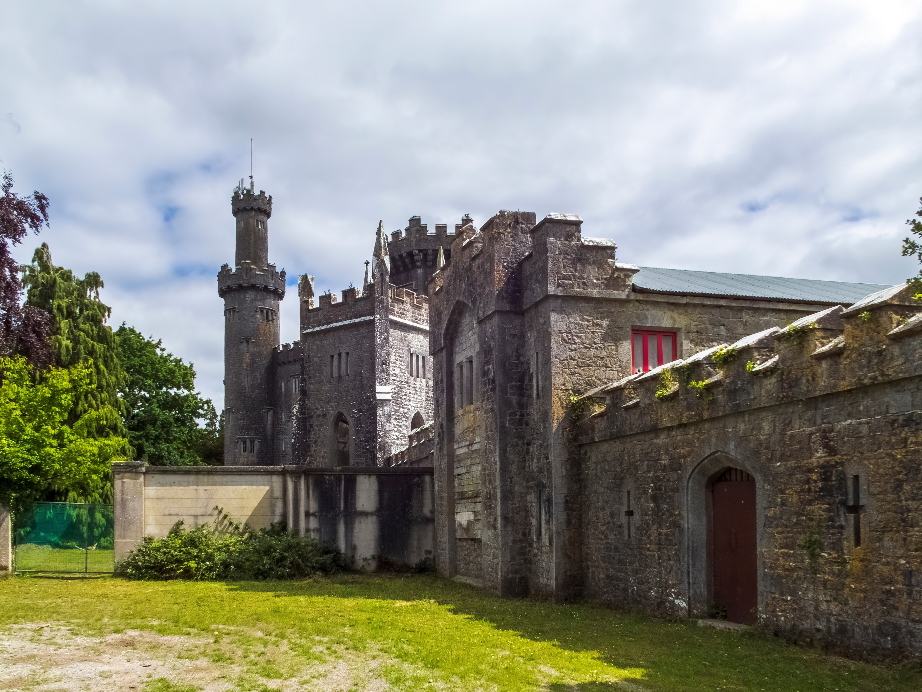
What is recorded here
Ursula's Fort in Ballyleidy, County Down, is an enclosed place whose human history has slipped from memory. The land may have been held, worked or forgotten before names were lost. What remains is a boundary drawn in earth, waiting for the story that built it to return.
The official Northern Ireland record identifies this as ENCLOSURE: URSULA'S FORT. Recorded period: UNCERTAIN. The official map point was placed at the centre of the recorded archaeological site from the source map reference.
The monument record does not grant public access. Check the route and ask the landowner before entering private land.
- What survives
- Recorded monument
Places near here
 CROSS in BallyleidyCROSS · 336 yd
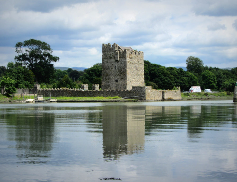 ENCLOSURE in BallyvarnetENCLOSURE · 676 yd
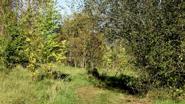 Kilcooley WoodWood · 1282 yd
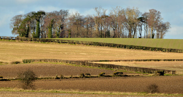 Jan Mayen ClumpWood · 1513 yd
 Stench PipeStreet Furniture · 1610 yd
_-_geograph.org.uk_-_2273585.jpg?width=1280) Ballygilbert Presbyterian ChurchChurch · 1.2 mi
Ballygilbert Presbyterian ChurchChurch · 1.2 mi North Down Coastal PathWalking route · 1.2 mi
 Brompton BayBeach / strand · 2.1 mi
 Bangor CastleCastle · 2.2 mi
 North Down MuseumMuseum · 2.2 mi
 Skippingstone BeachBeach / strand · 2.3 mi
 CairngaverMountain / peak · 2.3 mi
Other information
Photo: Credit not shown in the picture search · Rights wording not checked; contact us if this picture should be removed