
What is recorded here
Enclosure or rath in Ballykeel, County Down, may be a boundary marker, a farm yard, or a forgotten dwelling. The earth itself may have drawn the line before any human hand did. If people lived there, they measured space, claimed space, or simply stopped wandering. The uncertainty is the point. A place half-remembered keeps more life inside it than a place fully named.
The official Northern Ireland record identifies this as Enclosure/ Rath (Possible). Recorded period: UNCERTAIN. The official map point was placed at the centre of the recorded archaeological site from the source map reference.
The monument record does not grant public access. Check the route and ask the landowner before entering private land.
- What survives
- Recorded monument
Places near here
 Lenaderg Post OfficePost Office · 1459 yd
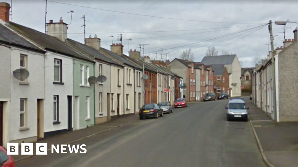 ENCLOSURE in BallymoneyENCLOSURE · 1681 yd
 Non-Subscribing ChurchChurch · 1.2 mi
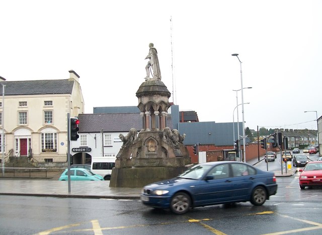 Crozier MonumentMonument · 1.2 mi
 Downshire BridgeMemorial · 1.3 mi
 FE McWilliam Gallery and StudioGallery · 2.2 mi
 Gilford CastleCastle · 2.6 mi
 Dunbarton HouseCastle · 3.0 mi
 CHURCH (Listed) & GRAVEYARD in MagherallyCHURCH (Listed) & GRAVEYARD · 3.4 mi
 Game of Thrones Studio TourHeritage attraction · 3.4 mi
 Waringstown Red WoodsForest · 4.9 mi
 Newry Canal WayWalking route · 5.6 mi
Other information
Photo: Credit not shown in the picture search · Rights wording not checked; contact us if this picture should be removed