What is recorded here
ENCLOSURE is the act of seizing common land and depriving people of their ancient rights to use it. The practice spread through England after William I conquered the realm in 1066, though commoners still claimed customary access for centuries. Owners justified the takeover as agricultural improvement, yet the real motive was often to increase the value of the land they stole. Enclosure riots became the pre-eminent form of social protest from the 1530s to 1640s because the policy destroyed the economic survival of ordinary people.
The official Northern Ireland record identifies this as ENCLOSURE - rath?. Recorded period: UNCERTAIN. The official map point was placed at the centre of the recorded archaeological site from the source map reference.
The monument record does not grant public access. Check the route and ask the landowner before entering private land.
- What survives
- Recorded monument
Places near here
 Dromantine CollegeUniversity/ College Building · 1156 yd
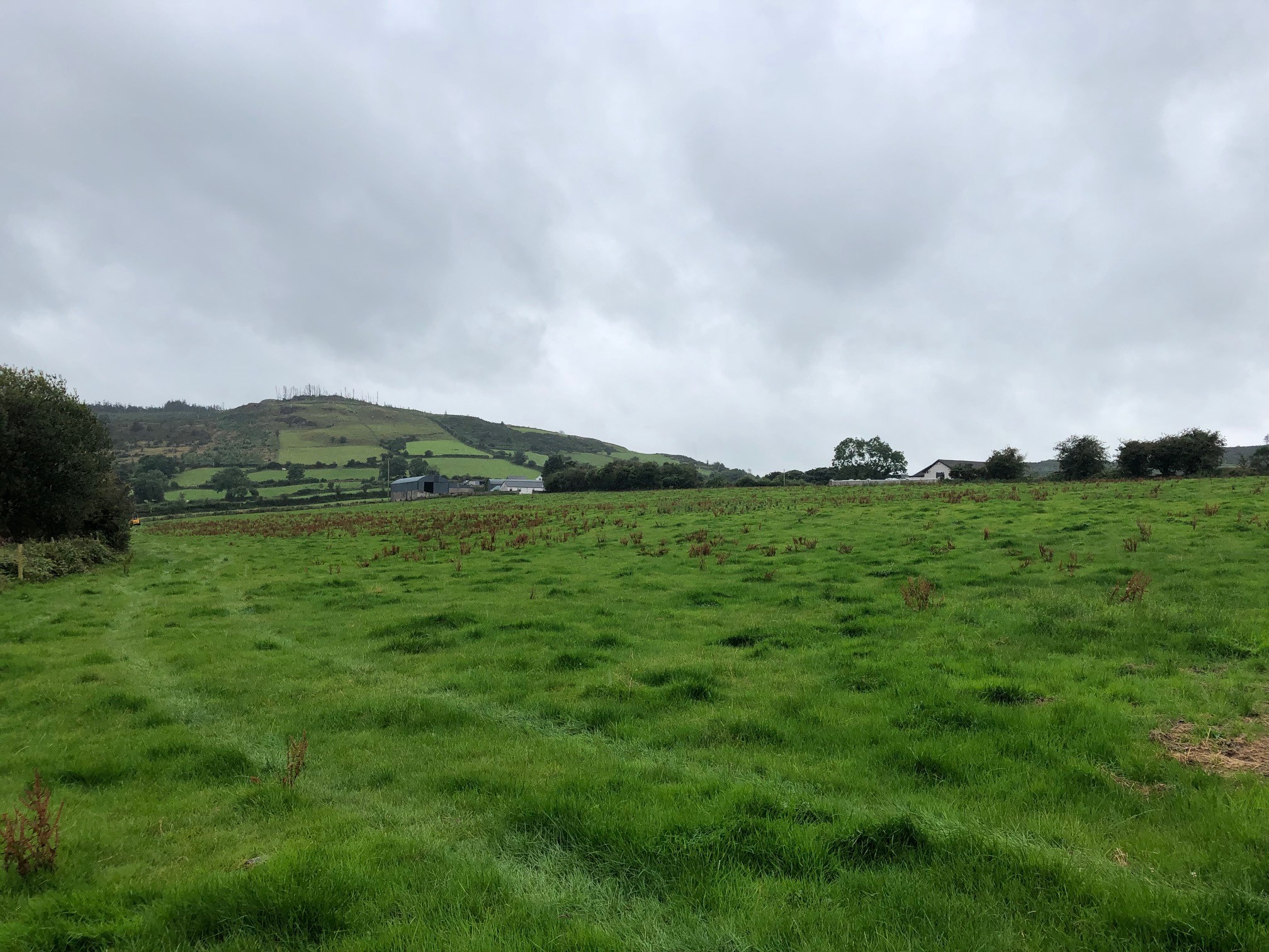 AP CropmarkAP Cropmark, Enclosure · 1411 yd
 ENCLOSURE: BALLYMACARATTY FORT in Ballymacaratty MoreENCLOSURE: BALLYMACARATTY FORT · 1551 yd
 Canal WoodWood · 1.6 mi
 Former National SchoolHall · 1.7 mi
 Newry Canal WayWalking route · 1.7 mi
 CASTLE in LoughadianCASTLE · 2.1 mi
 OuleyMountain / peak · 4.1 mi
 CASTLE in ScarvaCASTLE · 4.4 mi
 Scarva MemorialMemorial · 4.4 mi
 FE McWilliam Gallery and StudioGallery · 4.7 mi
 BessbrookVisitor information · 5.4 mi