What is recorded here
ENCLOSURE is a boundary drawn around living people, turning shared land into private property and stripping commoners of ancient rights. In County Down and across England, this act transformed waste into wealth for owners while starving the many who once walked the soil. It is not a neutral legal term but a violent rebirth of ownership, where efficiency becomes the knife edge and protest the only honest answer.
The official Northern Ireland record identifies this as ENCLOSURE - RATH?. Recorded period: UNCERTAIN. The official map point was placed at the centre of the recorded archaeological site from the source map reference.
The monument record does not grant public access. Check the route and ask the landowner before entering private land.
- What survives
- Recorded monument
Places near here
 Crown Bridge NewBridge · 1480 yd
 MOTTE & BAILEY: CROWN MOUND in Sheeptown (newry)MOTTE & BAILEY: CROWN MOUND · 1.0 mi
 ENCLOSURE in BenaghENCLOSURE · 1.1 mi
 Crown BridgeBridge · 1.2 mi
 POST-MEDIEVAL CHURCH & GRAVEYARD: ST. PATRICK'S in NewryPOST-MEDIEVAL CHURCH & GRAVEYARD: ST. PATRICK'S · 2.3 mi
 Newry CanalVisitor information · 2.3 mi
 Basin Walk Car ParkVisitor information · 2.4 mi
 Newry CenotaphMemorial · 2.5 mi
 1971 Newry killingsmassacre · 2.6 mi
 Newry and Mourne MuseumMuseum · 2.6 mi
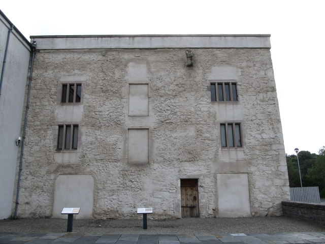 TOWER-HOUSE: BAGENAL'S CASTLE in NewryTOWER-HOUSE: BAGENAL'S CASTLE · 2.7 mi
 Bagenal's CastleCastle · 2.7 mi