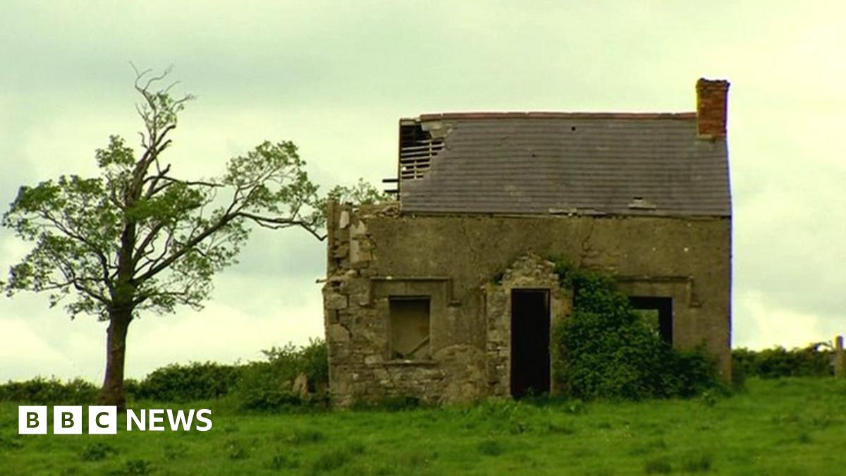
What is recorded here
ENCLOSURE is a rath in County Fermanagh, Ireland, where a boundary may have drawn people into a small world of their own making. The name leaves a question behind, but the shape suggests confidence: a place set apart, perhaps for residence, ritual, or the simple human wish to control what enters. That uncertainty is not a flaw. It is the edge of a room no one has fully entered, waiting for a person brave enough to stop treating unknown as empty.
The official Northern Ireland record identifies this as ENCLOSURE - RATH?. Recorded period: E.CHRIST.; UNCERTAIN. The official map point was placed at the centre of the recorded archaeological site from the source map reference.
The monument record does not grant public access. Check the route and ask the landowner before entering private land.
- What survives
- Recorded monument
Places near here
 St. Ninnidh's Rc ChurchChurch · 1602 yd
 RathArchaeological place · 1.1 mi
 Giant's GraveArchaeological place · 1.2 mi
 RECTANGULAR ENCLOSURE in RathfureRECTANGULAR ENCLOSURE · 1.5 mi
 InishcrevanIsland · 1.6 mi
 Bockan IslandIslet · 1.6 mi
 Lady Craigavon BridgeBridge · 2.4 mi
 Molly MountainMountain / peak · 2.9 mi
 Reilly WoodWood · 3.4 mi
 Gole WoodWood · 3.5 mi
 Inishbeg HillMountain / peak · 4.0 mi
 MEDIEVAL PARISH CHURCH; GRAVEYARD; HOLY WELL: KINAWLEY CHURCH or CELL NAILE or ST. NAILE'S WELL in LismonaghanMEDIEVAL PARISH CHURCH; GRAVEYARD; HOLY WELL: KINAWLEY CHURCH or CELL NAILE or ST. NAILE'S WELL · 4.1 mi
Other information
Photo: Credit not shown in the picture search · Rights wording not checked; contact us if this picture should be removed