What is recorded here
ENCLOSURE is a rath in County Down, Ireland. Whether it is a buried fort, a forgotten boundary or a place name born from enclosure itself, the land still carries that shape. People may have lived inside it, excluded others from it, or simply named it after the act of closing common ground.
The official Northern Ireland record identifies this as ENCLOSURE - rath?. Recorded period: UNCERTAIN. The official map point was placed at the centre of the recorded archaeological site from the source map reference.
The monument record does not grant public access. Check the route and ask the landowner before entering private land.
- What survives
- Recorded monument
Places near here
 ENCLOSURE in BallywardENCLOSURE · 1565 yd
,_Ballyward_-_geograph.org.uk_-_2567804.jpg?width=1280) Drumgooland Parish ChurchChurch · 1.1 mi
Drumgooland Parish ChurchChurch · 1.1 mi Ballyward HouseHouse · 1.1 mi
 ENCLOSURE in BallydrummanENCLOSURE · 1.7 mi
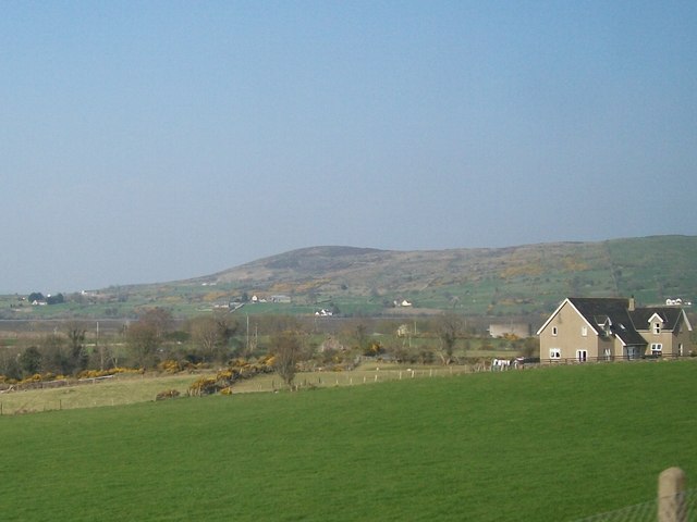 Tullynasoo MountainMountain / peak · 1.7 mi
 Kilcoo GraveyardWalking route · 1.9 mi
 CHURCH & GRAVEYARD: DRUMGOOLAND in DeehommedCHURCH & GRAVEYARD: DRUMGOOLAND · 2.7 mi
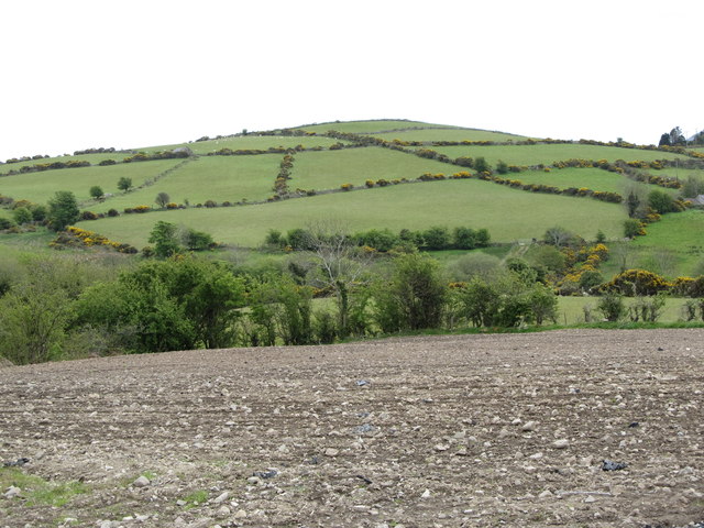 Carn HillMountain / peak · 2.8 mi
 Moorish TowerCastle · 2.8 mi
 The Moat PadWalking route · 3.0 mi
 Cypress Pond CollectionWood · 3.3 mi
 CASTLE & RATH reused as BAILEY: SEAFIN CASTLE; Magh Cobha; Moycove in SeafinCASTLE & RATH reused as BAILEY: SEAFIN CASTLE; Magh Cobha; Moycove · 3.5 mi