
What is recorded here
In tillage. A circular enclosure (diams. c. 75m) visible as a cropmark on Google Earth (imagery date 28 June 2018), identified and reported by Simon Dowling. The SE portion of the enclosing cropmark is not clearly visible. There is another large enclosure (LA025-064----) c. 200m to the N.
See attached Google Earth image taken 28 June 2018
Compiled by: Jean Farrelly
The monument record does not grant public access. Check the route and ask the landowner before entering private land.
- What survives
- Recorded monument
Places near here
 Enclosure in BallycormanEnclosure · 380 yd
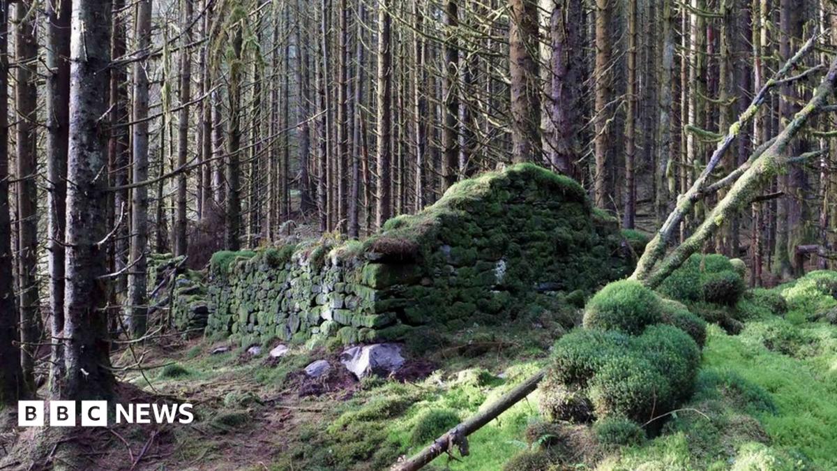 Enclosure in SkehanaghEnclosure · 405 yd
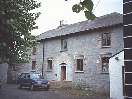 court housecourt house · 1089 yd
 Saint Anne's Community Hallchurch/chapel · 1395 yd
 Bawn in MilltownBawn · 1433 yd
 Ballylehane CastleCastle, unclassified · 1748 yd
 DM PenderMemorial · 3.7 mi
 Brackney WoodForest · 4.7 mi
 Gone FishingMemorial · 4.7 mi
 Town HallMuseum · 4.8 mi
 Cobbler's Castle WalkWalking route · 5.3 mi
 Mass Rock WalkWalking route · 5.3 mi
Other information
Photo: Credit not shown in the picture search · Rights wording not checked; contact us if this picture should be removed