What is recorded here
Cropmark of oval-shaped enclosure (approx. diam. 66m) visible on Google earth aerial imagery with field boundaries radiating out from monument. Cropmark of small earlier enclosure (approx. diam. 15m) cutting across cropmark of large enclosure at SW.
See attached images taken from Google Earth aerial photographs taken 23/06/2018 & 29/06/2009
Compiled by: Caimin O'Brien based on details provided by Jean-Charles Caillère
Date of upload: 29 May 2019
The monument record does not grant public access. Check the route and ask the landowner before entering private land.
- What survives
- Recorded monument
Places near here
 Castle (in Ruins)Castle, unclassified · 284 yd
 Millview Housemiller's house · 851 yd
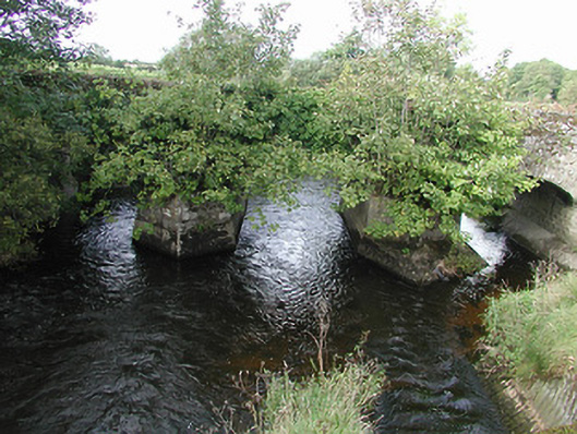 Nenagh Bridgebridge · 1047 yd
 Enclosure in LoughournaEnclosure · 1226 yd
 Enclosure in Grange UpperEnclosure · 1300 yd
 Site of CastleCastle, unclassified · 1.2 mi
 Old BarracksHeritage attraction · 1.7 mi
 Nenagh Heritage CentreMuseum · 1.8 mi
 Knigh HillMountain / peak · 2.4 mi
 James Devaney MemorialMemorial · 2.6 mi
 Goose IslandIslet · 4.2 mi
 Gibbet HillMountain / peak · 4.2 mi