
What is recorded here
Situated on a shelf on a S-facing slope. The cropmark of a D-shaped enclosure (dims. c. 43m NNE-SSW; c. 32m WNW-ESE) defined by a single fosse feature (Wth c. 2m) is visible only on Apple Maps, which utilises a survey conducted by Bluesky International during June 2018. There is a second outer fosse c. 3m outside the defining feature around the curved part SE-SW, and a larger enclosure defined by the cropmarks of similar fosses could be attached to the E. Its full extent is not known as only the features approaching from the NE and SE are visible. It was first reported by Anthony Murphy.
See the enhanced aerial view attached from Apple Maps
Compiled by: Michael Moore
Date of upload: 24 January 2020
The monument record does not grant public access. Check the route and ask the landowner before entering private land.
- What survives
- Recorded monument
Places near here
 Enclosure in TullyallenEnclosure · 366 yd
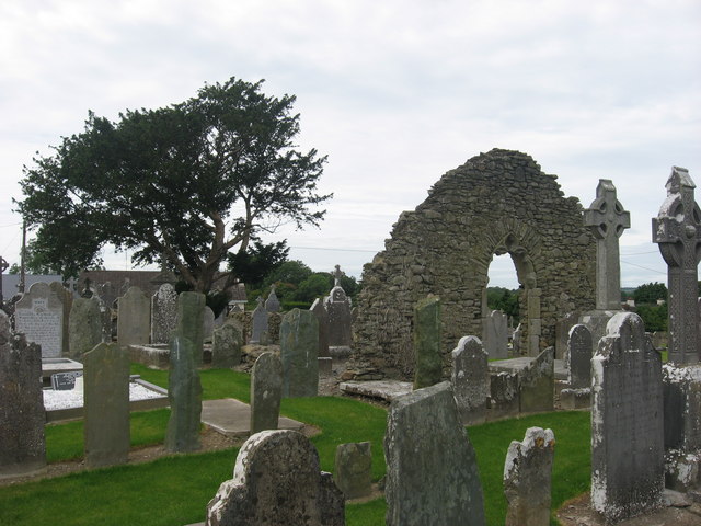 Church (in Ruins)Church · 516 yd
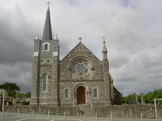 Catholic Church of Our Lady of the Assumptionchurch/chapel · 517 yd
 Man-made underground passage in MellMan-made underground passage · 1006 yd
 Grove IslandIslet · 1521 yd
 Battle of the Boyne Visitor CentreMuseum · 1586 yd
 Battle of the BoyneMajor battlefield · 1629 yd
 European YewEuropean Yew · 1.0 mi
 Yellow IslandIslet · 1.1 mi
 Quarry Garden WoodForest · 1.4 mi
 Proudfootstown CastleCastle, unclassified · 1.6 mi
 Drummond TowerCastle · 2.2 mi
Other information
Photo: Credit not shown in the picture search · Rights wording not checked; contact us if this picture should be removed