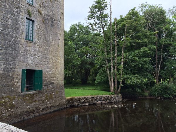
What is recorded here
In rough pastureland. Described by McCaffrey (1952, 288, no. 54) as a rectangular 'Earthen fort' (c. 73.2m E-W; c. 51.5m N-S) defined by an earthen bank and an external fosse. Traces of the latter were visible only on the W and N sides. There was a 'depression' (possible Man-made underground passage - GA114-167001-) in the centre of the interior. No visible surface trace survives.
Compiled by: Galway Archaeological Survey, UCG
Date of upload: 14 December 2017
The monument record does not grant public access. Check the route and ask the landowner before entering private land.
- What survives
- Recorded monument
Places near here
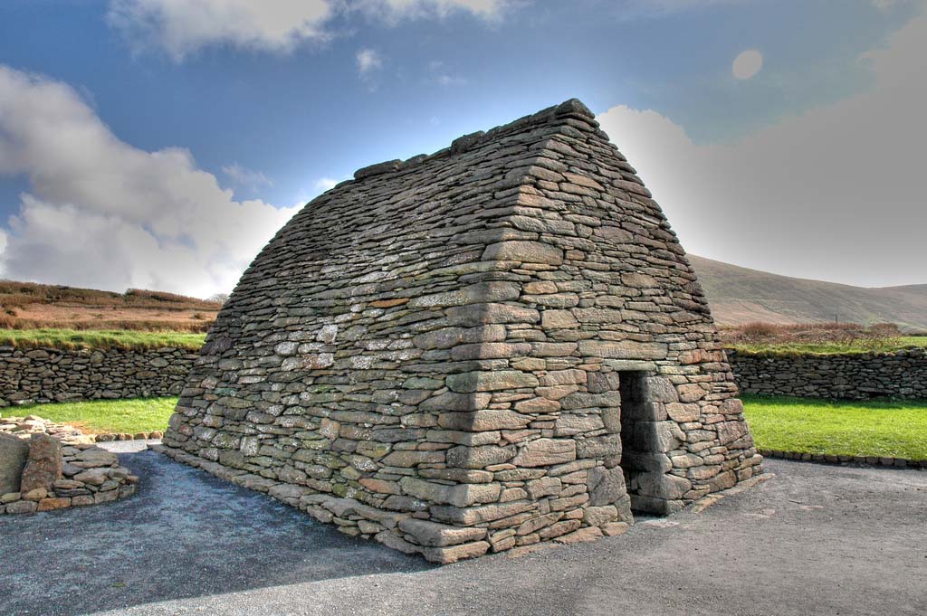 Enclosure in TulliraEnclosure · 282 yd
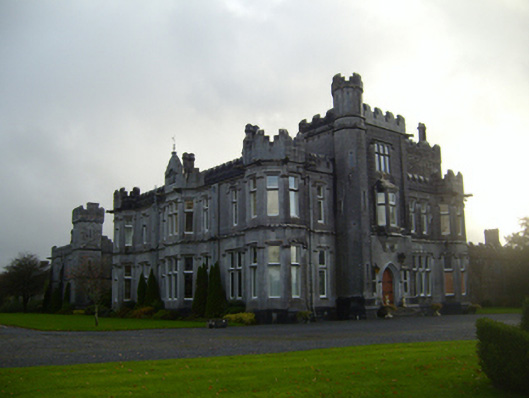 Tullira Castlecountry house · 723 yd
 Rahaly Castle (in ruins)Castle, tower house · 1306 yd
 IndicatedFairy fort / stone ringfort · 1587 yd
 Loughnane and Quinn Memorial Halldemesne walls/gates/railings · 1.3 mi
 HawthornHawthorn · 1.7 mi
 European ashEuropean ash · 1.7 mi
 Ballymaquiff CastleCastle · 1.8 mi
 Drumharsna CastleHeritage attraction · 2.8 mi
 Mulroney's IslandIslet · 7.1 mi
 Kilmacduagh Monastic SiteVisitor information · 7.4 mi
 Traught BeachBeach / strand · 9.0 mi
Other information
Photo: Credit not shown in the picture search · Rights wording not checked; contact us if this picture should be removed