What is recorded here
In pasture, on gentle N-facing slope. Trace of small semi-circular area (dims. c. 18m N-S; c. 10m E-W) defined by very slight fosse (Wth 7m; D 0.1m) N-E-S. Presently incorporated into one large pasture field, however was truncated by field boundary to N and S on latest edition OS 6-inch map. Possibly also truncated at W by field boundary shown on this map. Trackway (long-axis c. E-W) is to N. Ringfort (TS069-044----) is 250m to SSW.
Compiled by: Jean Farrelly
Date of upload: 26 August 2011
The monument record does not grant public access. Check the route and ask the landowner before entering private land.
- What survives
- Recorded monument
Places near here
 Tullamain MoatCastle, motte and bailey · 542 yd
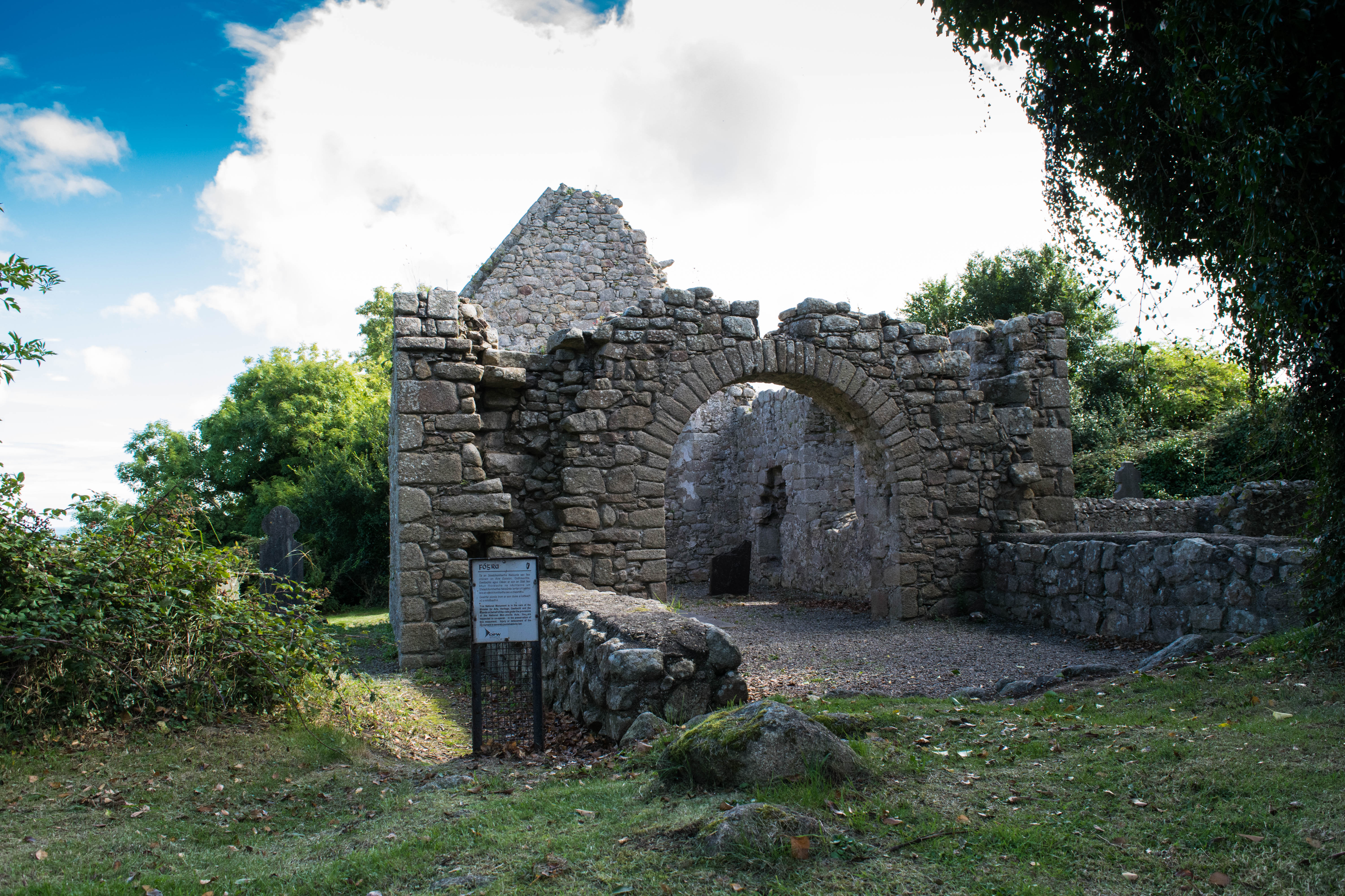 Tullamain Church (in ruins)Church · 672 yd
 Kilbragh Church (in ruins)Church · 706 yd
 Enclosure in Railstown (railstown Par.)Enclosure · 1.2 mi
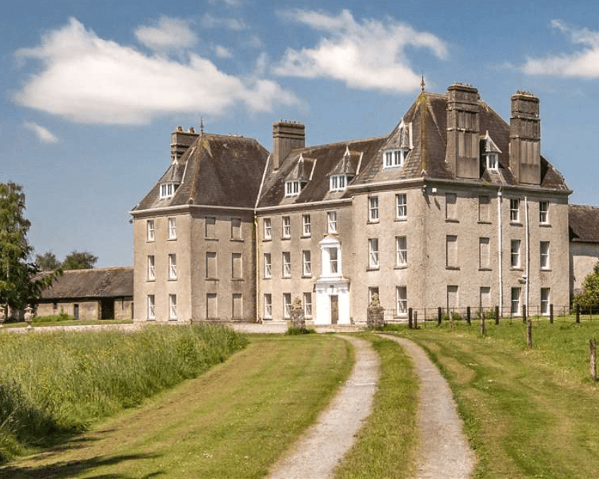 Enclosure in LowesgreenEnclosure · 1.3 mi
 CastleCastle, ringwork and bailey · 1.5 mi
 European YewEuropean Yew · 3.9 mi
 Pedunculate OakPedunculate Oak · 4.8 mi
 Cashel Folk MusuemMuseum · 5.3 mi
 The Rock Of CashelVisitor information · 5.4 mi
 Ballyknock HillMountain / peak · 5.4 mi
 Cormac's ChapelHeritage attraction · 5.4 mi