What is recorded here
Tubbrid Lower holds a broken circular enclosure whose fosse still shadows the tillage, marked by two roads that cut across its southern quadrants. The land has worn the stone and soil into a ghost arc, yet the shape resists forgetting because nearby ringforts and enclosures repeat the same human claim. Perhaps families lived inside the circle before roads and quarry took its edges, leaving only a curve for hunger and memory to complete.
In tillage. An arc of a possible circular enclosure (chord L c. 37m; chord H 15m) visible as a cropmark on Google Earth (imagery date 28 June 2018), identified and reported by Simon Dowling and Jean-Charles Caillère. The fosse is visible from WSW-N-NE. The enclosure may be truncated by a road running NW-SE along the SW quadrant and another road running NE-SW along the SE quadrant. On the 1st (1839) ed. OS map there is a small quarry at the junction of the two road, within the interior of the enclosure. There is a ringfort (KK012-036----) c. 140m to the NNE and there are other ringforts and enclosures in the vicinity.
See attached Google Earth image taken 28 June 2018
Compiled by: Jean Farrelly
Date of upload: 10 April 2019
The monument record does not grant public access. Check the route and ask the landowner before entering private land.
- What survives
- Recorded monument
Places near here
 Tubbrid Lower RingfortArchaeological place · 186 yd
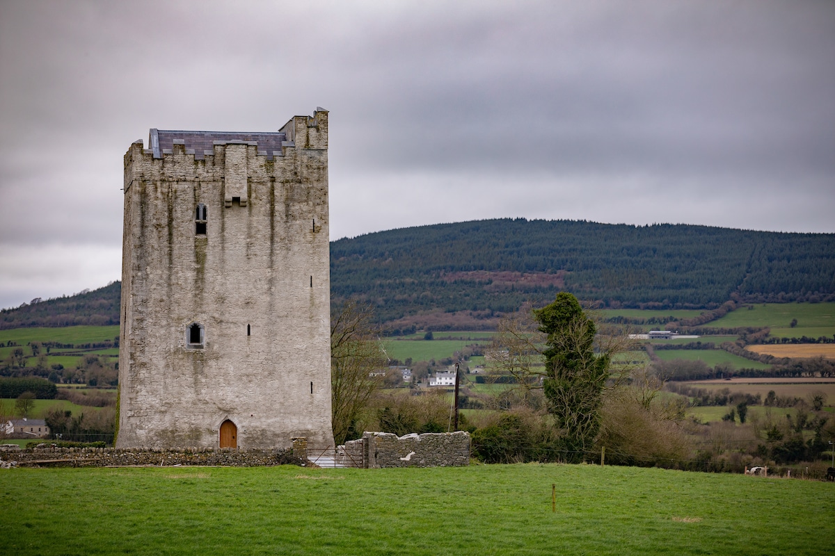 Enclosure in Tubbrid LowerEnclosure · 465 yd
 Tubbrid Castle (in ruins)Castle, tower house · 1112 yd
 Church (in Ruins)Church · 1165 yd
 Woodsgift Housegates/railings/walls · 1204 yd
 CastleCastle, ringwork · 1458 yd
 Kildrinagh WoodForest · 1.1 mi
 Clomantagh HillMountain / peak · 2.2 mi
 John HelyMemorial · 3.7 mi
 Deerpark WoodWood · 3.8 mi
 DelaneyMemorial · 3.8 mi
 Bregaun HillMountain / peak · 5.8 mi
Other information
Photo: Credit not shown in the picture search · Rights wording not checked; contact us if this picture should be removed