What is recorded here
Cahergal (site of) / Cathair Gheal (white stone fort). Marked as a circular enclosure on the 1841-42 OS map, it has the same map designation as KE017-011----, though it would appear to have been much smaller.
In the interior is a sub-rectangular structure (KE017-001001-) which measures externally 18.8m x 9.5m and .3m-.5m high.
The above description is derived from C. Toal, ‘North Kerry Archaeological Survey’. Dingle. Brandon in association with FAS Training and Employment Authority (1995), no. 826. In certain instances the entries have been revised and updated in the light of recent research.
Date of upload: 3 August 2013
The monument record does not grant public access. Check the route and ask the landowner before entering private land.
- What survives
- Recorded monument
Places near here
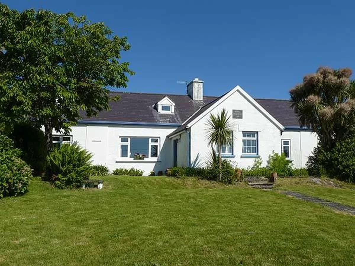 CahergalArchaeological place · 7 yd
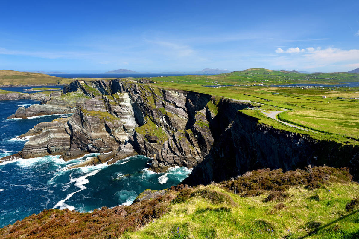 LisroeArchaeological place · 1067 yd
 Duagh Church (in ruins)Church · 1.2 mi
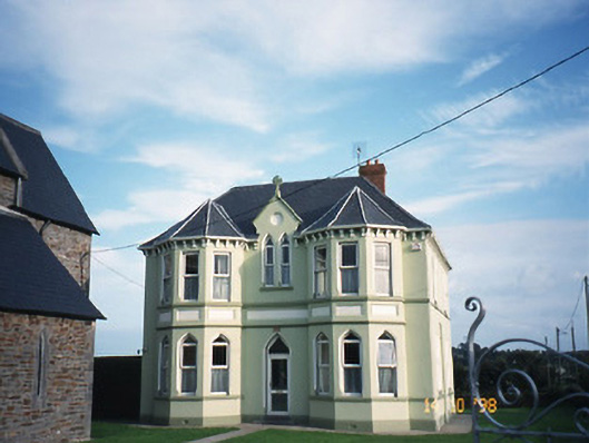 Saint Brigid's Catholic Churchpresbytery/parochial/curate's house · 1.2 mi
 CastleCastle, tower house · 2.2 mi
 John B. KeaneMemorial · 3.2 mi
 Holocaust MemorialMemorial · 3.2 mi
 Kerry Writers' MuseumMuseum · 3.7 mi
 Listowel Castle (in ruins)Castle, tower house · 3.7 mi
 Lartigue MonorailMuseum · 3.9 mi
 Stack's MountainMountain / peak · 10 mi
 Kilflynn Nature ReserveNature reserve · 11 mi