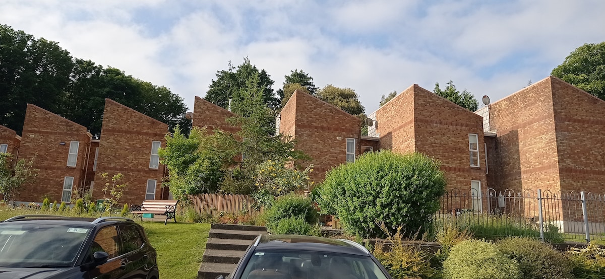
What is recorded here
Located on a slight SW-facing slope. The faint cropmark of a circular area (int. diam. c. 20m NE-SW; ext. diam. c. 40m NE-SW) defined by two fosses is visible on Google Earth (14/07/2018). It is truncated by a NE-SW field bank at NW at the edge of the inner enclosure, which is eccentrically placed within the outer fosse and the features are not visible NW of the field bank. It was first reported by Simon Dowling.
See the attached enhanced view from Google Earth
Compiled by: Michael Moore
Date of upload; 6 March 2020
A local fairy fort (ringfort/rath); wider significance not recorded.
The monument record does not grant public access. Check the route and ask the landowner before entering private land.
- What survives
- Recorded monument
Places near here
 Ruin of a small castleRuins · 716 yd
 Ruin of a barnRuins · 731 yd
 Castleboro Housegate lodge · 812 yd
 Embanked enclosureFairy fort / earthen ringfort · 1278 yd
 IndicatedFairy fort / ringfort · 1.2 mi
 1798 MemorialMemorial · 3.2 mi
 Killoughrum ForestForest · 3.4 mi
 (Site of) CastleCastle, unclassified · 4.2 mi
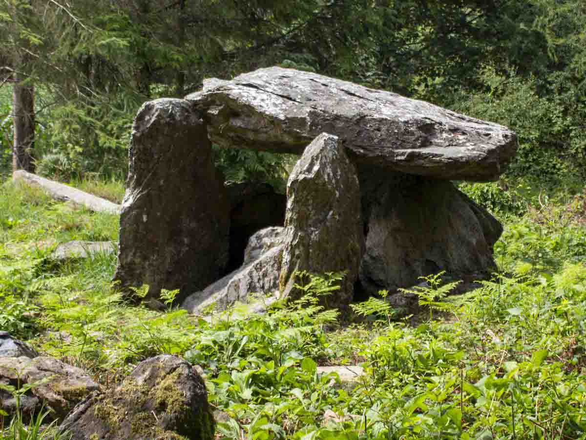 Bree HillMountain / peak · 4.5 mi
 Carrickmastia HillMountain / peak · 4.9 mi
 Dick Joynt MemorialMemorial · 5.3 mi
 Silver WattleSilver Wattle · 8.1 mi
Other information
Photo: Credit not shown in the picture search · Rights wording not checked; contact us if this picture should be removed