What is recorded here
Located in the valley of an E-W stream with the stream c. 50m to the N. This is a D-shaped area (dims c. 35m NE-SW; c. 35m NW-SE) that is only visible as a cropmark on Google Earth (14/07/2018). It is defined by a single fosse attached to the outermost fosse of rath (WX015-066----) at W but at S its fosse connects with the outer and middle fosses of the rath at its entrance. The Google images were first reported by Jean Charles Caillere.
See the attached enhanced view from Google Earth (14/07/2018)
Compiled by: Michael Moore
Date of upload: 18 September 2019
The monument record does not grant public access. Check the route and ask the landowner before entering private land.
- What survives
- Recorded monument
Places near here
 Enclosure in BallycarneyEnclosure · 308 yd
 Enclosure in TincurryEnclosure · 845 yd
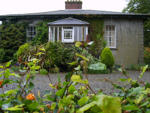 Rosemountfarm house · 878 yd
 Ballycarney Castle (in ruins)House, 17th century · 911 yd
 CastleCastle, unclassified · 2.2 mi
 Tombrick WoodForest · 2.4 mi
 Ferns Castle (in ruins)Castle, Anglo-Norman masonry castle · 3.1 mi
 Pedunculate OakPedunculate Oak · 3.1 mi
 Bernard Dunne Memorial BenchMemorial · 4.9 mi
 U.N. Peace MemorialMonument · 4.9 mi
 Battle of Vinegar Hill, 1798Monument · 5.0 mi
 Gibbet HillMountain / peak · 7.1 mi