What is recorded here
In pasture on a NW-facing slope. Listed as an 'enclosure' in the SMR (1990) and the RMP (1997) based on cartographic evidence (1st ed. 6-inch OS map (1842)). Not visible at ground level.
Compiled by: Matt Kelleher
Date of upload: 21 March 2013
The monument record does not grant public access. Check the route and ask the landowner before entering private land.
- What survives
- Recorded monument
Places near here
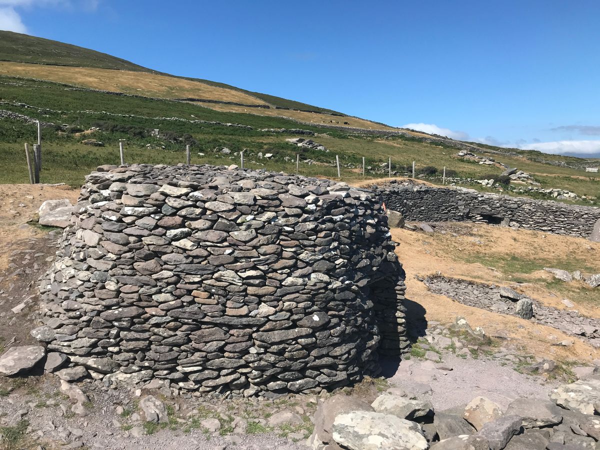 Enclosure in BanshaghEnclosure · 216 yd
 Cloon IslandIsland · 512 yd
 Clash IslandIslet · 666 yd
 LismoyleArchaeological place · 893 yd
 Church in Dromavally (trughanacmy By., Killorglin Ed)Church · 1494 yd
 King Puck statueMemorial · 1685 yd
 bridgebridge · 1728 yd
 CastleCastle, tower house · 1.1 mi
 Ballymalis Castle (in ruins)Castle, tower house · 3.9 mi
 The Kerry Creamery ExperienceHeritage attraction · 4.2 mi
 LisnagraveArchaeological place · 4.3 mi
 Kerry Bog VillageHeritage attraction · 5.7 mi