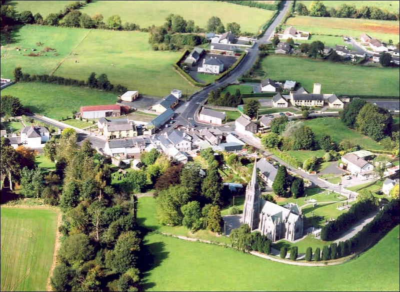
What is recorded here
The following description is derived from the published 'Archaeological Inventory of County Carlow' (Dublin: Stationery Office, 1993). In certain instances the entries have been revised and updated in the light of recent research.
Date of upload/revision: 17 July 2007
Visible on aerial photographs (CUCAP BGH 23) as small circular area enclosed by cropmark of narrow fosse (est max. diam. c. 20m). Possibly ring-barrow or ring-ditch.
The monument record does not grant public access. Check the route and ask the landowner before entering private land.
- What survives
- Recorded monument
Places near here
 Sliguff Locklock · 690 yd
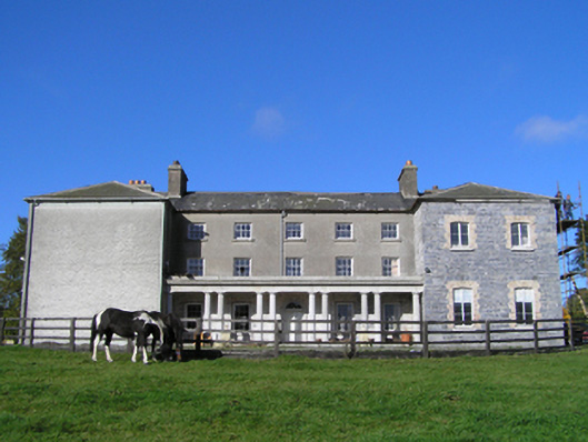 Duninga Housecountry house · 928 yd
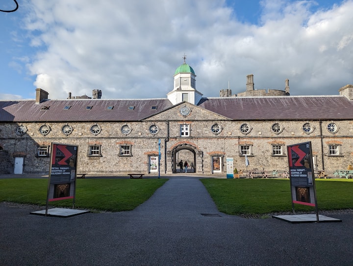 Enclosure in DuningaEnclosure · 1145 yd
 Enclosure in Kilgraney (idrone East By.)Enclosure · 1513 yd
 Site of CastleCastle, unclassified · 2.1 mi
 Church (in ruins), GraveyardChurch · 2.4 mi
 The Green GardenWood · 2.5 mi
 Lord Galmoys Catle (in ruins)Castle, unclassified · 2.7 mi
 Wych ElmWych Elm · 2.9 mi
 Lock Keeper's House and Lodge MillsVisitor information · 2.9 mi
 The Columban WayVisitor information · 3.0 mi
 Church, GraveyardChurch · 4.9 mi
Other information
Photo: Credit not shown in the picture search · Rights wording not checked; contact us if this picture should be removed