What is recorded here
On a S-facing slope at the S end of Slievecarran and within a field system (CL006-042001-) extending all over the plateau. A D-shaped enclosure (c. 52m N-S; c. 38m E-W) defined by mound walls with a straight E side defined by a low cliff over one of the many natural hollows in this area. Visible on Digital Globe (2011-2013) and OSi Aerial Premium (2012-2018) orthophotographs. Another enclosure (CL006-243----) is attached at W.
Compiled by: Mary Tunney
Date of upload: 7 December 2021
The monument record does not grant public access. Check the route and ask the landowner before entering private land.
- What survives
- Recorded monument
Places near here
 Enclosure in PullaghEnclosure · 208 yd
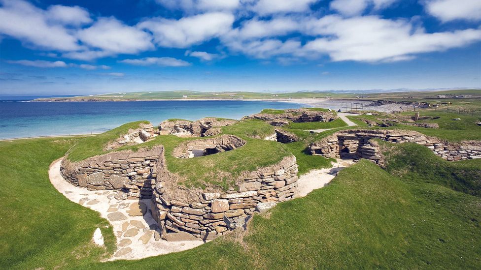 Enclosure in SlievecarranEnclosure · 315 yd
 MacDuagh's BedRuins · 649 yd
 St. MacDuachs Church (in ruins)Church · 680 yd
 Grave of Saint Mac Duagh's ServantArchaeological place · 1089 yd
 Cappagh CastleCastle · 1.7 mi
 Turlough HillMountain / peak · 2.1 mi
 Turlough CastleArchaeological place · 2.5 mi
 Corcomroe AbbeyVisitor information · 3.5 mi
 Corcomroe Abbey Geopark SiteVisitor information · 3.5 mi
 Burren National ParkNature reserve · 3.7 mi
 Battle of Lough Raskabattle · 3.8 mi