
What is recorded here
This site is located close to a cliff edge. An aerial photograph taken in 1971 (FSI 3, 705/4) shows a cropmark of a circular enclosure (diam c. 50m). This is a rough area within a housing estate.
Compiled by: Geraldine Stout and Padraig Clancy.
Revised upload on: 14 April 2018.
A local fairy fort (ringfort/rath); wider significance not recorded.
The monument record does not grant public access. Check the route and ask the landowner before entering private land.
- What survives
- Recorded monument
Places near here
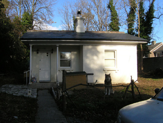 Shanganagh Parkgate lodge · 226 yd
 Beechfieldhouse · 258 yd
 CrossCross, Churchyard cross (present location) · 417 yd
 Shanganagh CastleCastle, tower house · 613 yd
 Monterey CypressMonterey Cypress · 767 yd
 Dublin Mountains Way Trailhead SignVisitor information · 829 yd
 Battery in ShanganaghBattery · 1029 yd
 Loughlinstown WoodsNature reserve · 1090 yd
 Martello Tower No.7 Killiney - Killiney HillFort · 1694 yd
 St. James GateVisitor information · 1.0 mi
 Michael DavittMemorial · 1.1 mi
 Rathmichael WalkWalking route · 1.3 mi
Other information
Photo: Credit not shown in the picture search · Rights wording not checked; contact us if this picture should be removed