
What is recorded here
Situated in pasture, c. 220m N of Knockacunag Lake. The ploughed out remains of a subrectangular enclosure (c. 50m NW-SE; c. 45m NE-SW) abutting a field boundary at NE and defined by a bank and fosse are visible on a Google Earth image, taken 5 February 2009, and accessed 9 March 2015. While no enclosure is marked on the OS maps the field boundary indicated at this location retains the shape of the NE portion of the site. A ringfort (CL043-045----) lies c. 220m to the NW.
Compiled by: Mary Tunney
Date of upload: 14 April 2015
A local fairy fort (ringfort/rath); wider significance not recorded.
The monument record does not grant public access. Check the route and ask the landowner before entering private land.
- What survives
- Recorded monument
Places near here
 IndicatedEcclesiastical enclosure · 655 yd
 Drumullan Castle (Site of)Castle, unclassified · 1197 yd
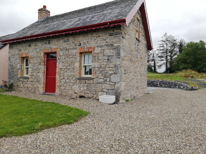 Enclosure in KilkishenEnclosure · 1236 yd
 Kilkishen Castle (in Ruins)Castle, tower house · 1.4 mi
 CraggaunowenNationally known place · 1.6 mi
 The RingfortHeritage attraction · 1.6 mi
 islandWood · 1.7 mi
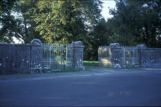 Kilkishen Housedemesne walls/gates/railings · 1.7 mi
 Knappogue Castlecastle/fortified house · 1.8 mi
 Cloghleagh RockNamed rock · 2.9 mi
 Mass RockMemorial · 3.9 mi
 Mooghaun WoodsWood · 3.9 mi
Other information
Photo: Credit not shown in the picture search · Rights wording not checked; contact us if this picture should be removed