
What is recorded here
Enclosure in Rineanna North is a possible D-shaped enclosure in County Clare, Ireland, with a broad grassed bank and a straight SE side about 36m long. It lies low among rock outcrops and brambles, close enough to an unclassified ringfort for the two places to feel like neighbours in a forgotten landscape. A farm track still cuts through it, suggesting the earth was never fully released from human use.
In a lowlying area of natural undulations and rock outcrop. Noted as a possible enclosure on OSi MapGenie 2013-2018 ortho photographs. A D-shaped area (c. 30m NW-SE) with a straight SE side (L c. 36m), backing onto a low natural rise. Defined by a broad grassed-over bank of earth and stone (at SW: H 0.25-0.3m; Wth 3.8m, at N: H 0.2-0.28m; Wth 2.4m), obscured at W by an area of brambles. The interior is uneven and a farm track cuts through the site from S to N. An unclassified ringfort (CL061-001----) lies c. 285m to the NW.
Compiled by: Mary Tunney
Date of upload: 5 November 2025
The monument record does not grant public access. Check the route and ask the landowner before entering private land.
- What survives
- Recorded monument
Places near here
 Kilconry ChurchRuins · 1380 yd
 Shannon Airport Aviation GalleryMuseum · 1.2 mi
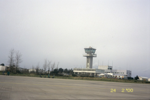 Shannon Airportairport · 1.2 mi
 Feenish Castle (in Ruins)Castle, unclassified · 1.4 mi
 Altar PointHeadland · 1.5 mi
 Feenish PointHeadland · 1.7 mi
 Enclosure in CarrigerryEnclosure · 1.8 mi
 Enclosure in StonehallEnclosure · 2.1 mi
 IndicatedBawn · 2.2 mi
 Pan Am Flight 1-10aviation accident · 2.7 mi
 Ringmoylan PierVisitor information · 3.4 mi
 Atlantic Air VentureMuseum · 3.6 mi
Other information
Photo: Credit not shown in the picture search · Rights wording not checked; contact us if this picture should be removed