What is recorded here
Reported to the Archaeological Survey of Ireland as the very low remains of an enclosure. Low profile traces of semi-circular area (dims. c. 40m N-S; c. 18m E-W) defined by levelled scarp (Wth 4.5m; H 0.8m) S->W->NNE. Enclosing elements are not traceable along E-side due to dense, impenetrable vegetation; Monument is defined by fast flowing stream adjacent to E. Interior is generally level and monument is incorporated into field as pasture. Field fence traverses monument across E-side.
Compiled by: Alison McQueen and Vera Rahilly
Date of upload: 10 September 2014
The monument record does not grant public access. Check the route and ask the landowner before entering private land.
- What survives
- Recorded monument
Places near here
 Enclosure in CurracittyEnclosure · 836 yd
 Enclosure in ReavaunEnclosure · 1187 yd
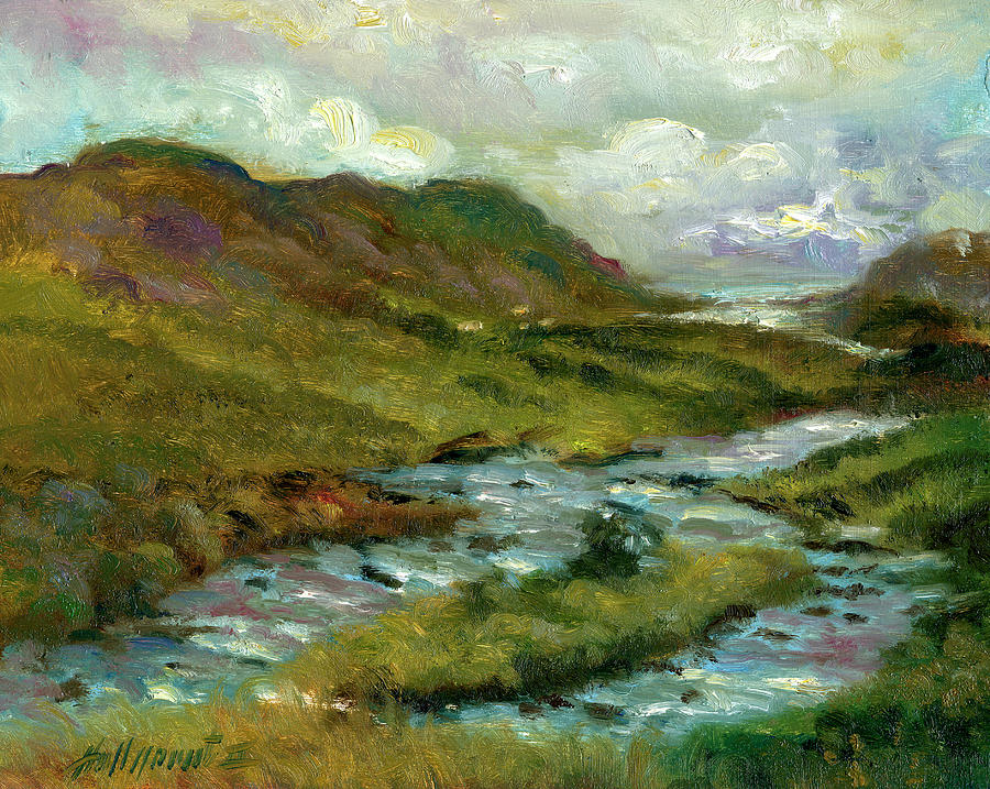 Gortshanavogh Br.Bridge · 1.6 mi
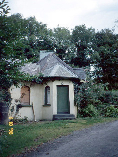 Dicksgrovegate lodge · 1.6 mi
 Site of Currans CastleCastle, unclassified · 3.8 mi
 Fieries CastleCastle · 4.3 mi
 SlievebrickanMountain / peak · 5.2 mi
 Aghadoe Early Medieval Ecclesiastical SiteHeritage attraction · 5.8 mi
 Famine MemorialMemorial · 6.0 mi
 GinkgoGinkgo · 6.2 mi
 Kerry 2nd Brigade of the Irish Republican ArmyMemorial · 6.3 mi
 Giant SequoiaGiant Sequoia · 6.5 mi