What is recorded here
Not indicated on the 1st (1839) ed. OS 6-inch map or the 1948 revision. A circular enclosure (diam. c. 38m), the fosse of which was identified as a cropmark on aerial photographs (CUCAP AYK048, 9 July 1969; ASIAP (21) 13, 1995). An outer fosse is visible as a concentric arc, c. 15m from the inner fosse, in the N sector. This outer fosse is probably truncated by a field boundary which runs NNW-SSE along the W side of the enclosure. Another field boundary runs ENE-WSW S of the enclosure, possibly truncating the outer fosse in this sector.
See attached:
KK027-032----_01 aerial photograph CUCAP AYK048, 9 July 1969
KK027-032----_02 aerial photograph ASIAP (21) 13, 1995
Compiled by: Jean Farrelly
Date of upload: 29 March 2023
The monument record does not grant public access. Check the route and ask the landowner before entering private land.
- What survives
- Recorded monument
Places near here
 Saint Mary's Church (Kells)church/chapel · 271 yd
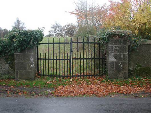 gates/railings/wallsgates/railings/walls · 411 yd
 Font in Glebe (kells By.)Font · 460 yd
 Kells Augustinian PrioryHeritage attraction · 497 yd
 CrossCross, Market cross · 510 yd
 Prior's TowerCastle · 526 yd
 Water TowerCastle · 541 yd
 Kells Loop WalkWalking route · 779 yd
 Famous Horses of KellsMemorial · 978 yd
 Kells Priory Mill MuseumMuseum · 1081 yd
 Lacken WellSpring · 1540 yd
 RIC BarracksMemorial · 1.4 mi