What is recorded here
In tillage. Identified as a cropmark of the fosse of a circular enclosure (diam. c. 65m) on aerial photographs (CUCAP BDH099, 14 July 1970 and BDR055, 18 July 1970) and visible on ASIAP (16) 31, 1995 and (113) 30-32, 22 July 2000. Adjoining the S sector is a rectilinear feature, possibly part of an associated field system (KK020-040002-). On the aerial photograph a field boundary is visible running roughly E-W across the S portion of the monument, it has since been removed.
See attached aerial photographs:
KK020-040001-_01 CUCAP BDH099, 14 July 1970
KK020-040001-_02 CUCAP BDR055, 18 July 1970
Compiled by: Jean Farrelly
Date of upload: 8 December 2020
The monument record does not grant public access. Check the route and ask the landowner before entering private land.
- What survives
- Recorded monument
Places near here
 Enclosure in BlanchvillestownEnclosure · 978 yd
 Enclosure in Blanchville DemesneEnclosure · 1240 yd
 Kylebeg Church (in ruins)Church · 1401 yd
 HawthornHawthorn · 1482 yd
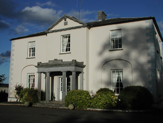 Blanchville Housecountry house · 1.0 mi
 Site of Blanchville CastleCastle, unclassified · 1.0 mi
 Moonhall Castle (ruins)Castle · 1.2 mi
 St. Mogarra’s WellSpring · 2.3 mi
 Dunbell Big RingfortWood · 3.0 mi
 Time CapsuleMemorial · 4.1 mi
 Tullaherin Church and Round TowerVisitor information · 4.4 mi
 Kilbline GraveyardArchaeological place · 4.8 mi